Our Blogs
Stay Updated

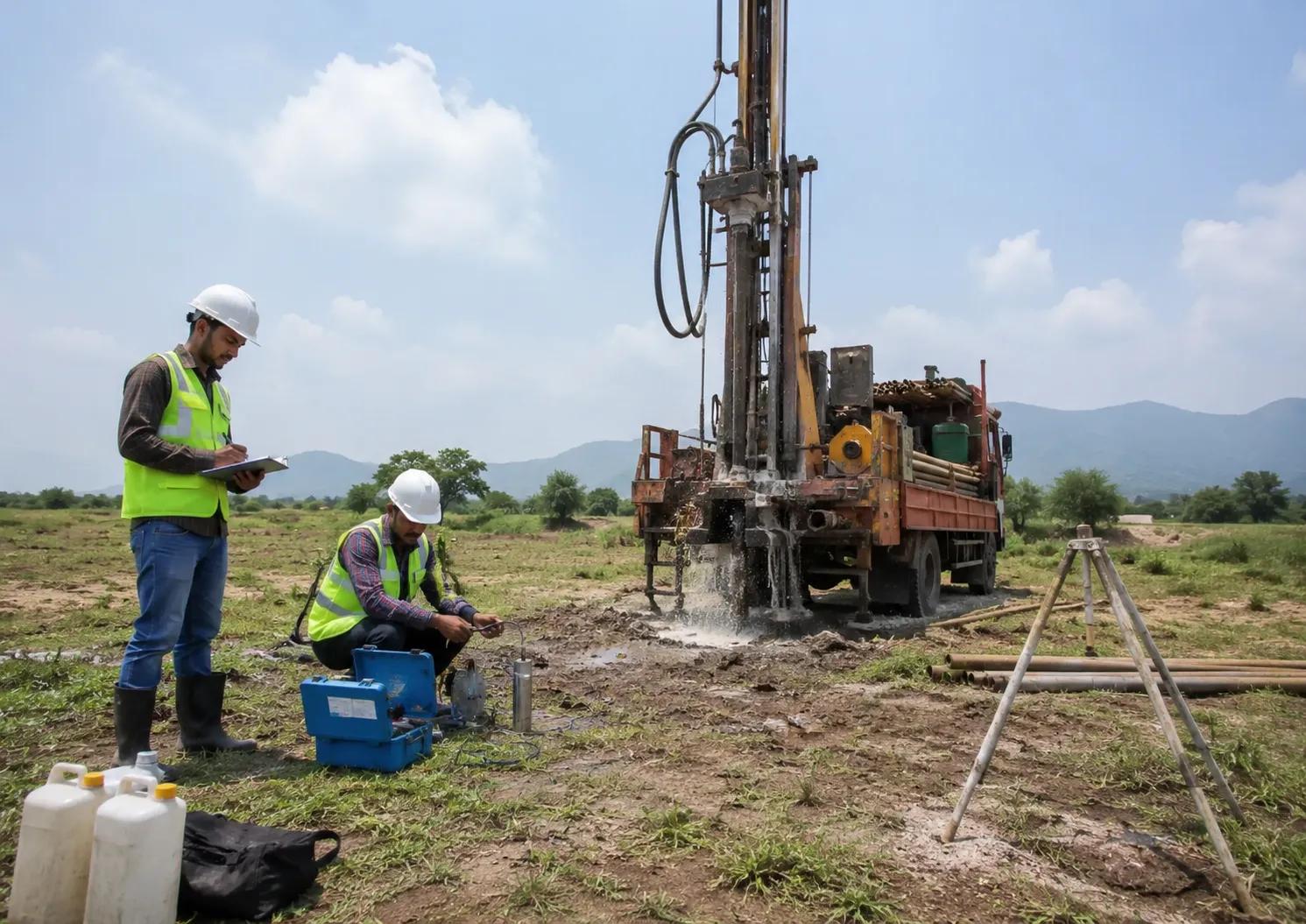


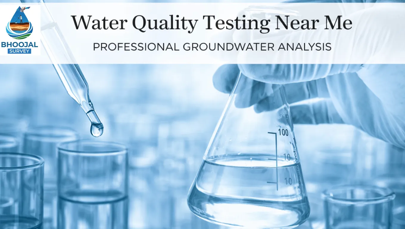
Water Quality Testing for Borewell & Drinking Water
- Nikhil Jagetiya
- Mar, 2026
Groundwater contamination is a growing public health threat. Professional water quality testing detects fluoride, arsenic, heavy metals, and pathogens that visual inspection cannot....
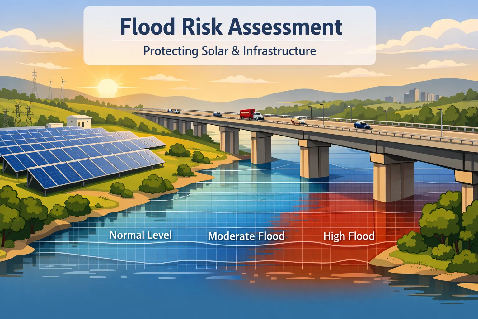
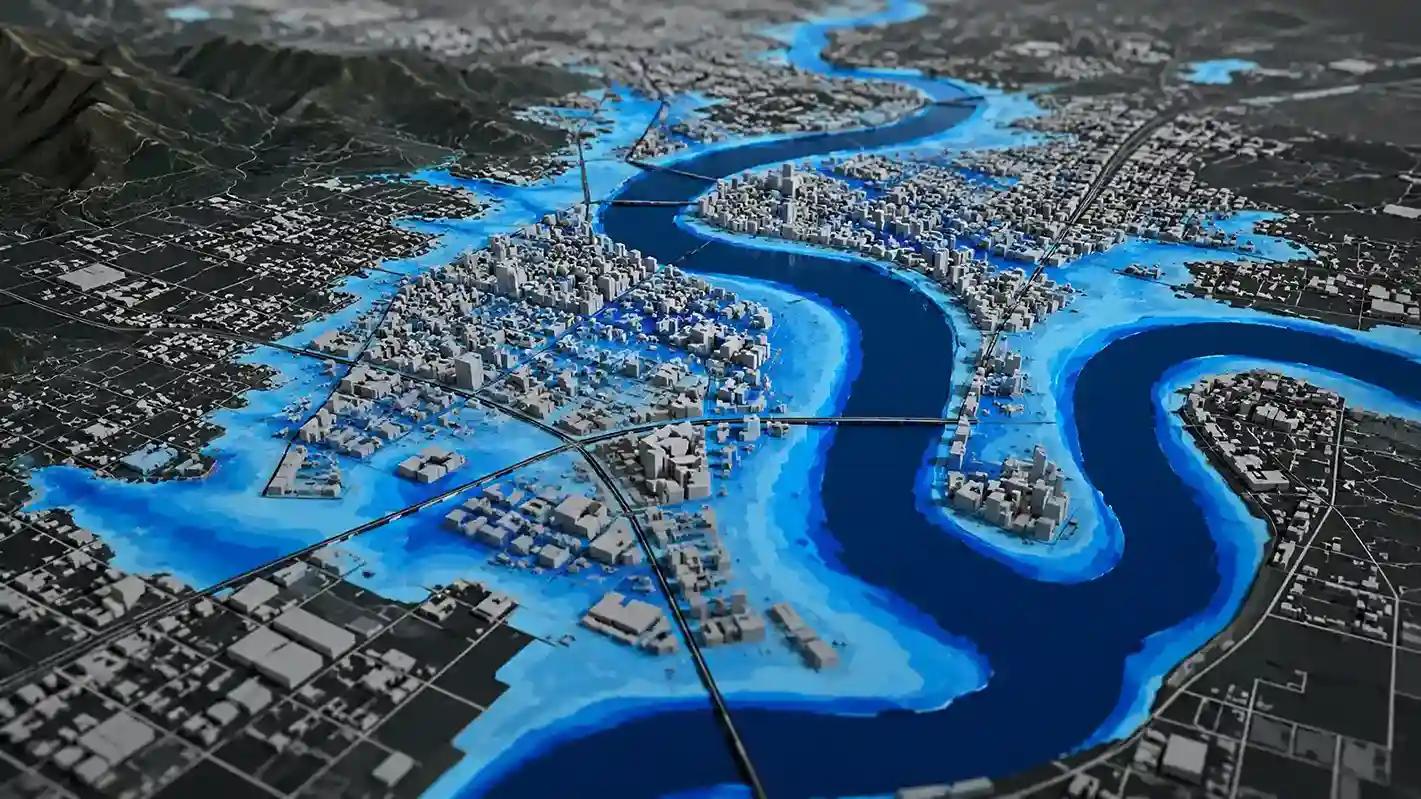
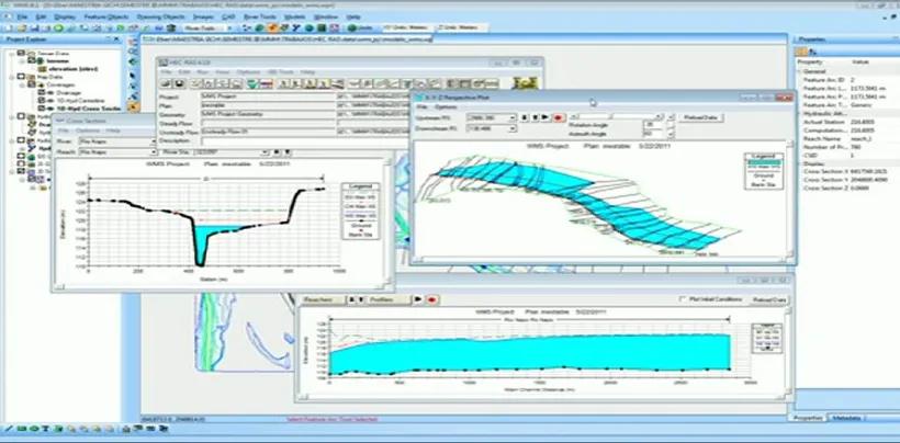
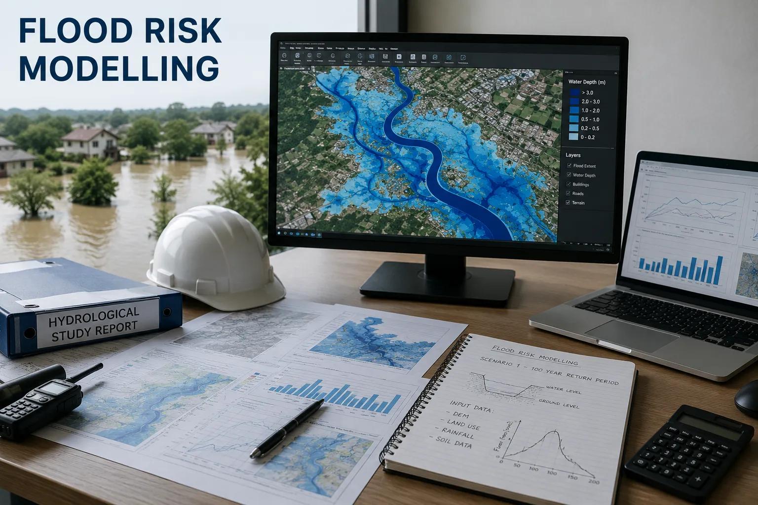
Flood Modeller: Role in Infrastructure & Solar Risk Assessment
- Nikhil Jagetiya
- Mar, 2026
A flood modeller simulates how water moves across landscapes during rainfall, identifying flood-prone zones before construction of solar parks and infrastructure begins....
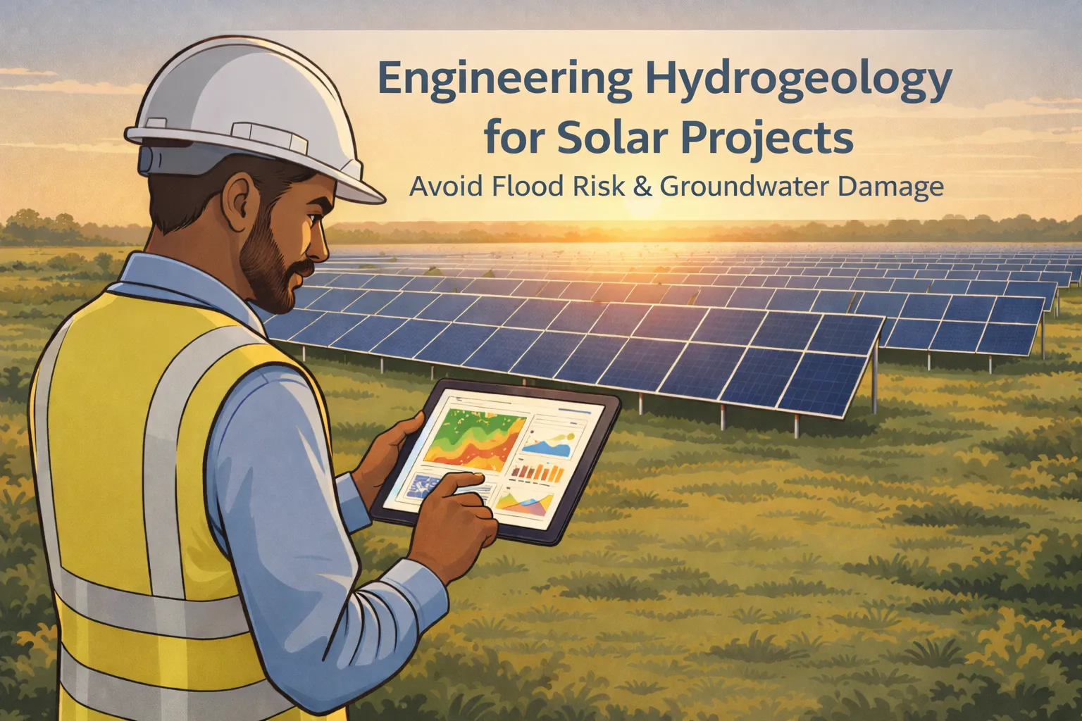
Engineering Hydrogeology for Solar & Infrastructure (2026)
- Nikhil Jagetiya
- Mar, 2026
Engineering hydrogeology studies how groundwater behaves within geological formations and interacts with built infrastructure like solar parks and highways....
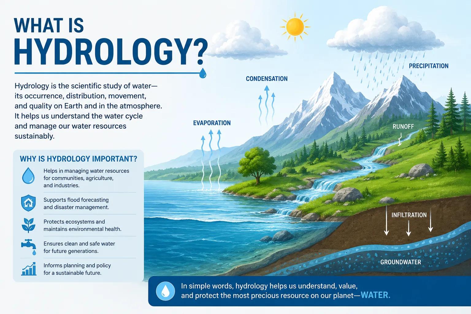
Hydrology and Water Resources Engineering: Complete 2026 Guide
- Nikhil Jagetiya
- Mar, 2026
Hydrology and water resources engineering plays a critical role in managing floods, groundwater depletion, and sustainable water supply for modern infrastructure....
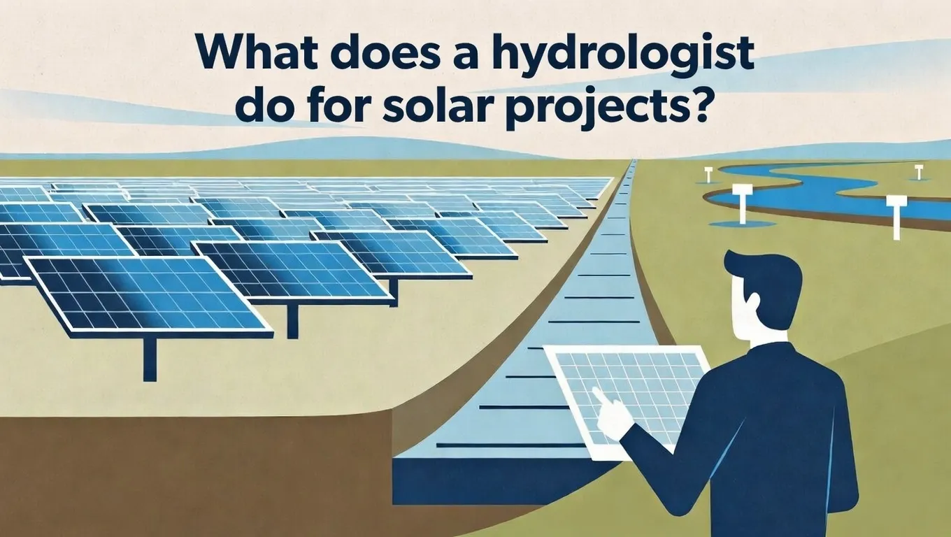
The Crucial Role of a Hydrologist in Solar Projects (2026)
- Nikhil Jagetiya
- Mar, 2026
Proper drainage, flood risk assessment, and water flow management are critical for solar farms. A Hydrologist ensures your solar project is built on safe ground....
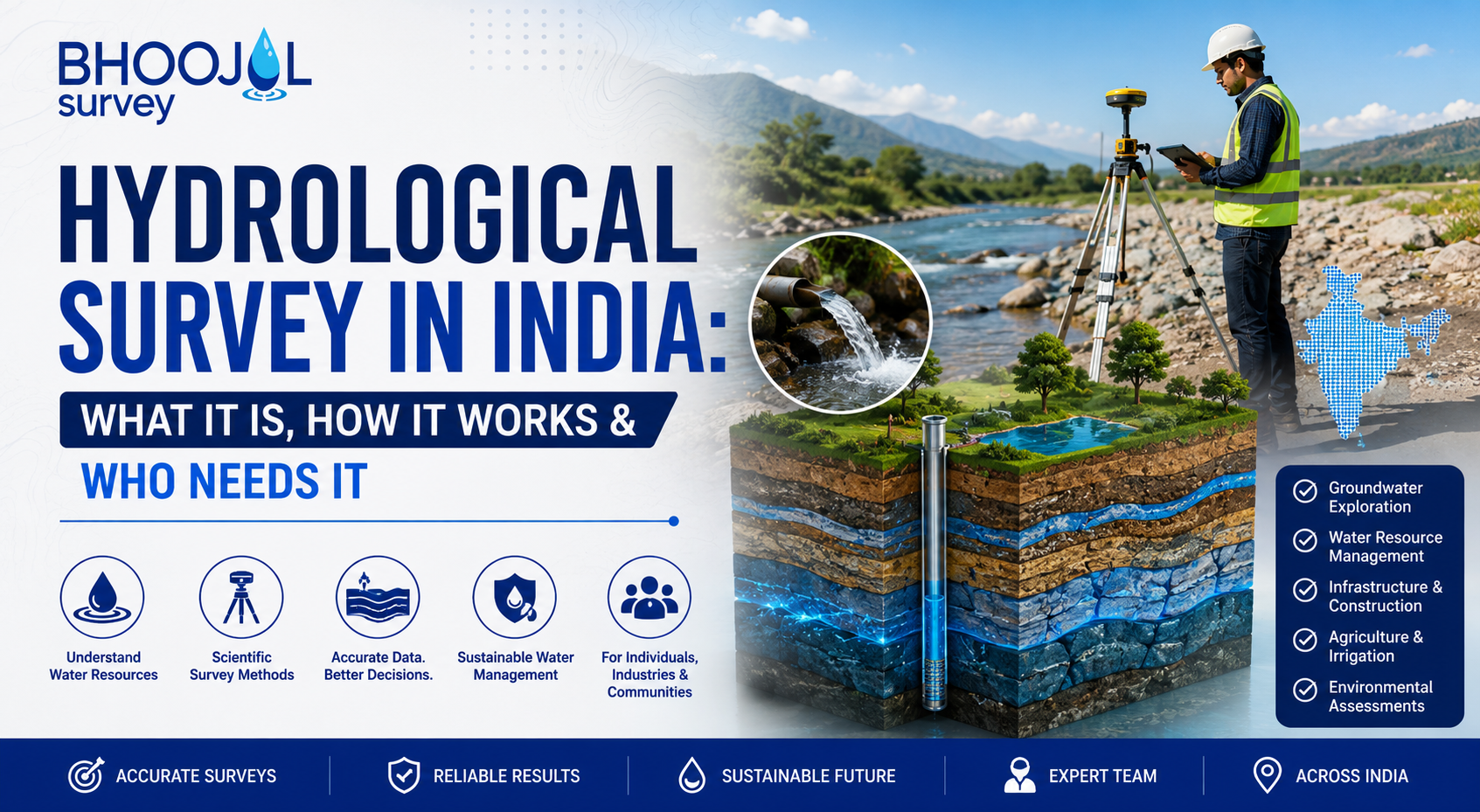
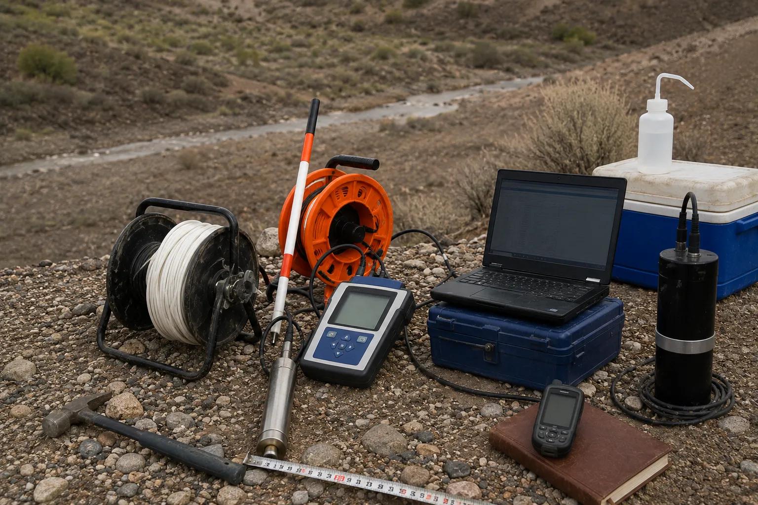
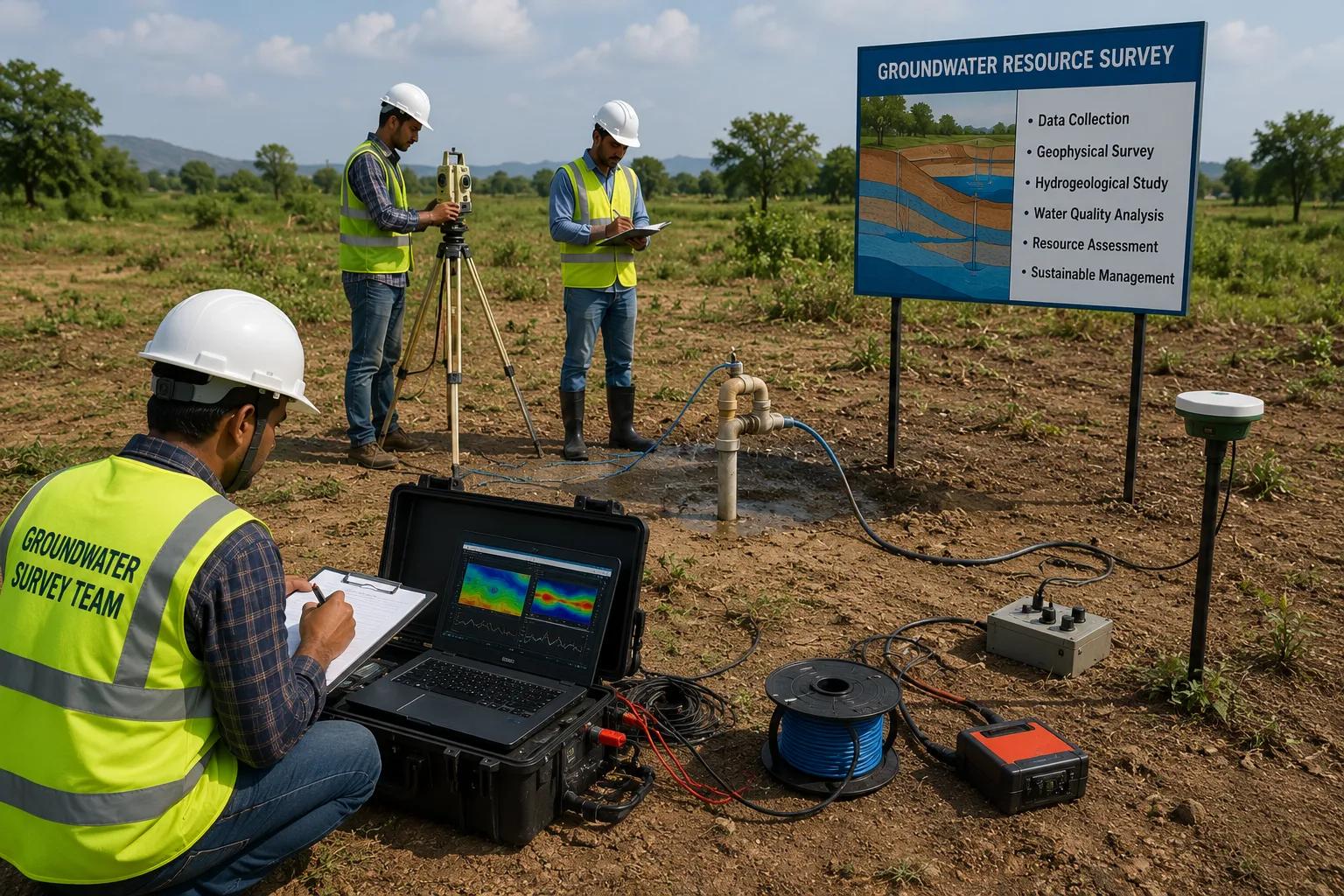
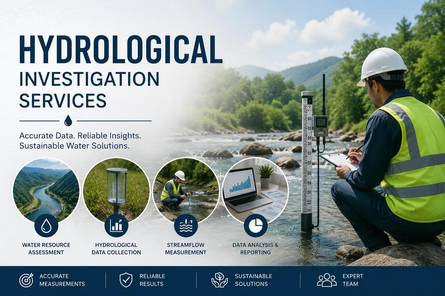
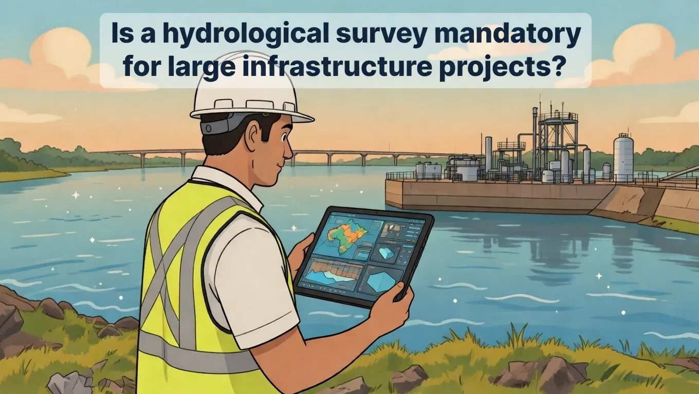
Hydrological Survey – Complete Guide (2026)
- Nikhil Jagetiya
- Mar, 2026
A hydrological survey is a scientific study that examines surface and groundwater resources to understand availability, movement, quality, and sustainability....
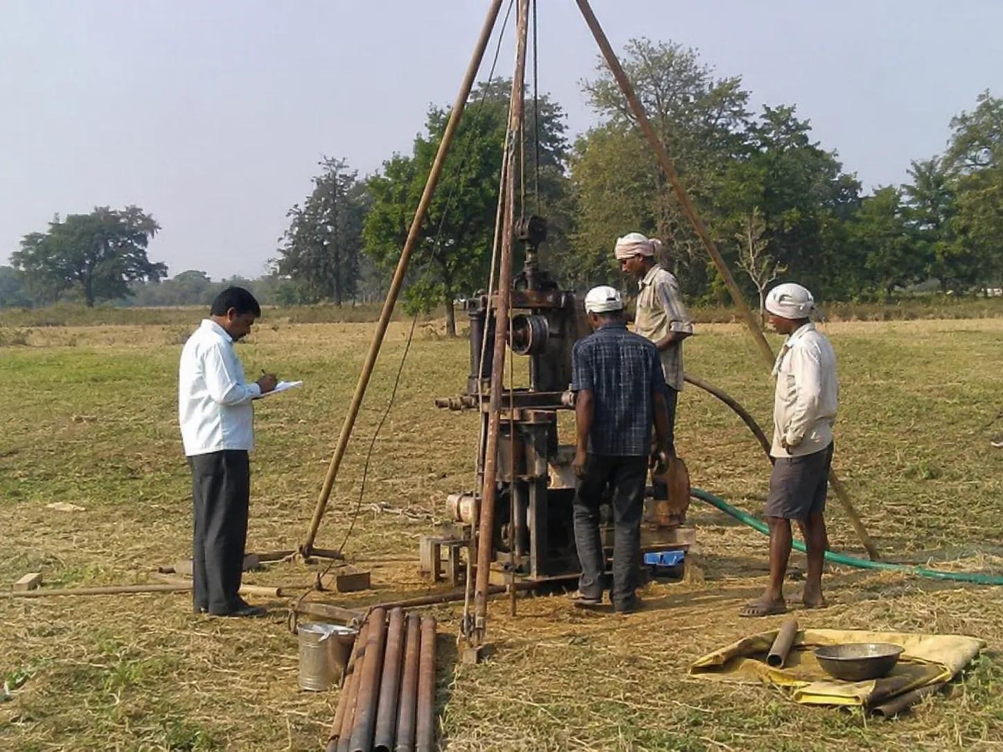
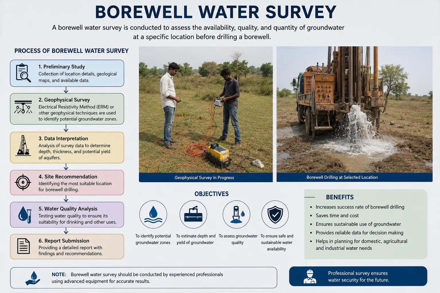
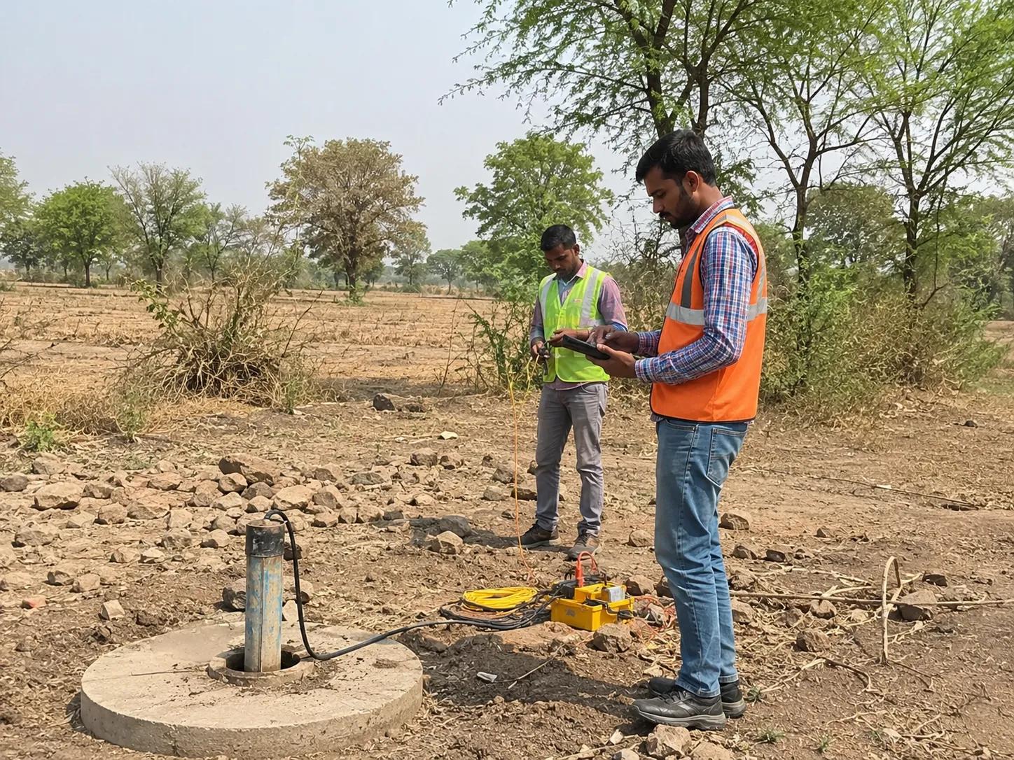
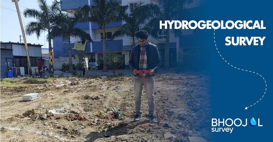
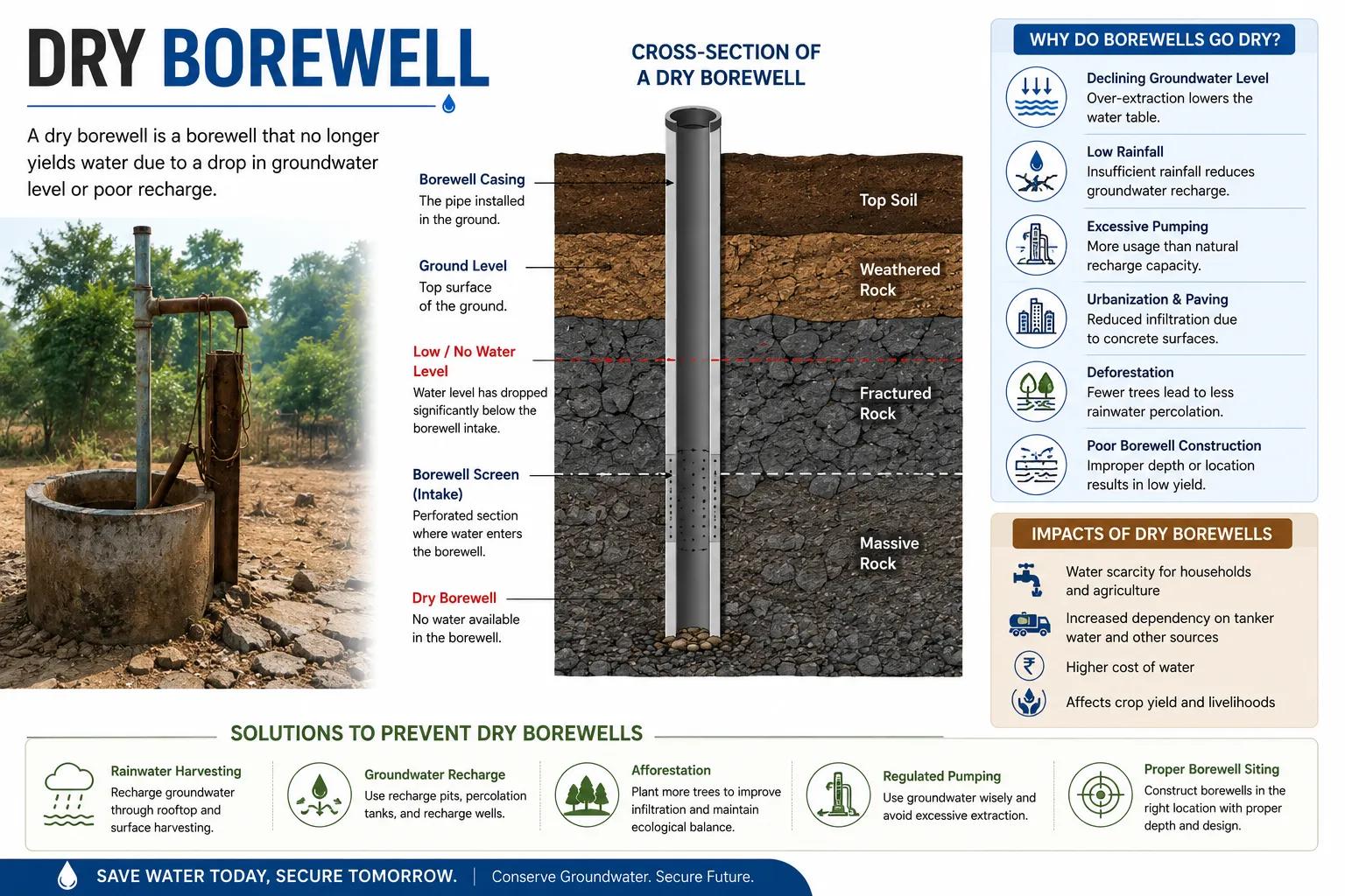
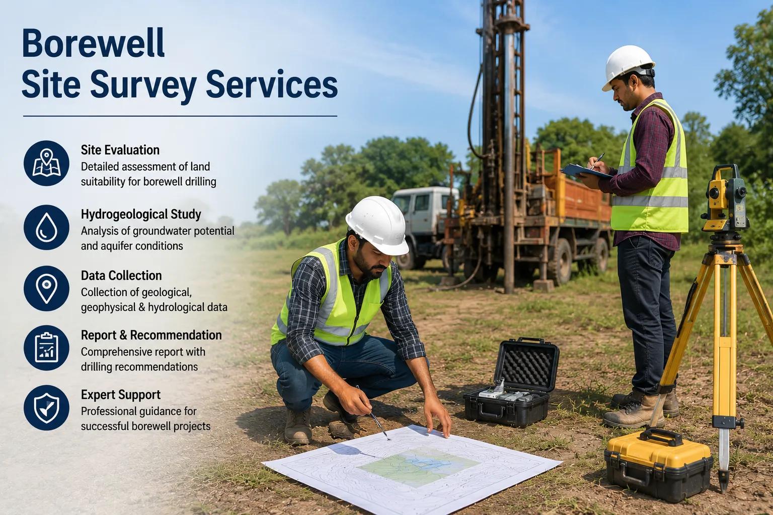
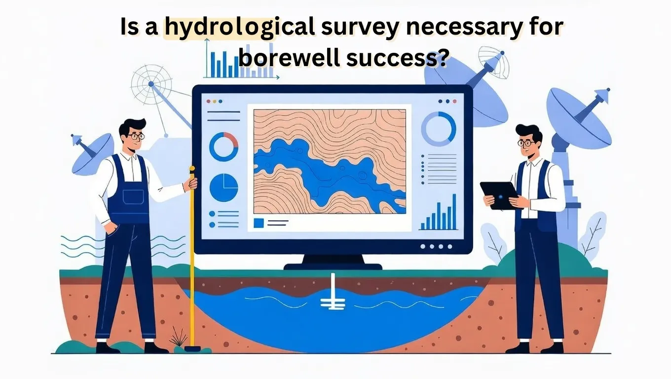
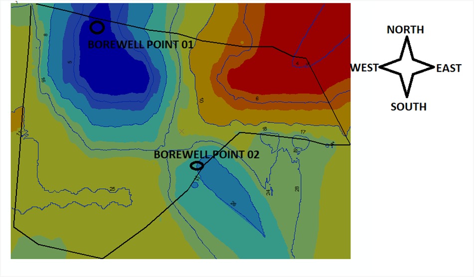
Hydrogeological Survey – Complete Guide (2026)
- Nikhil Jagetiya
- Mar, 2026
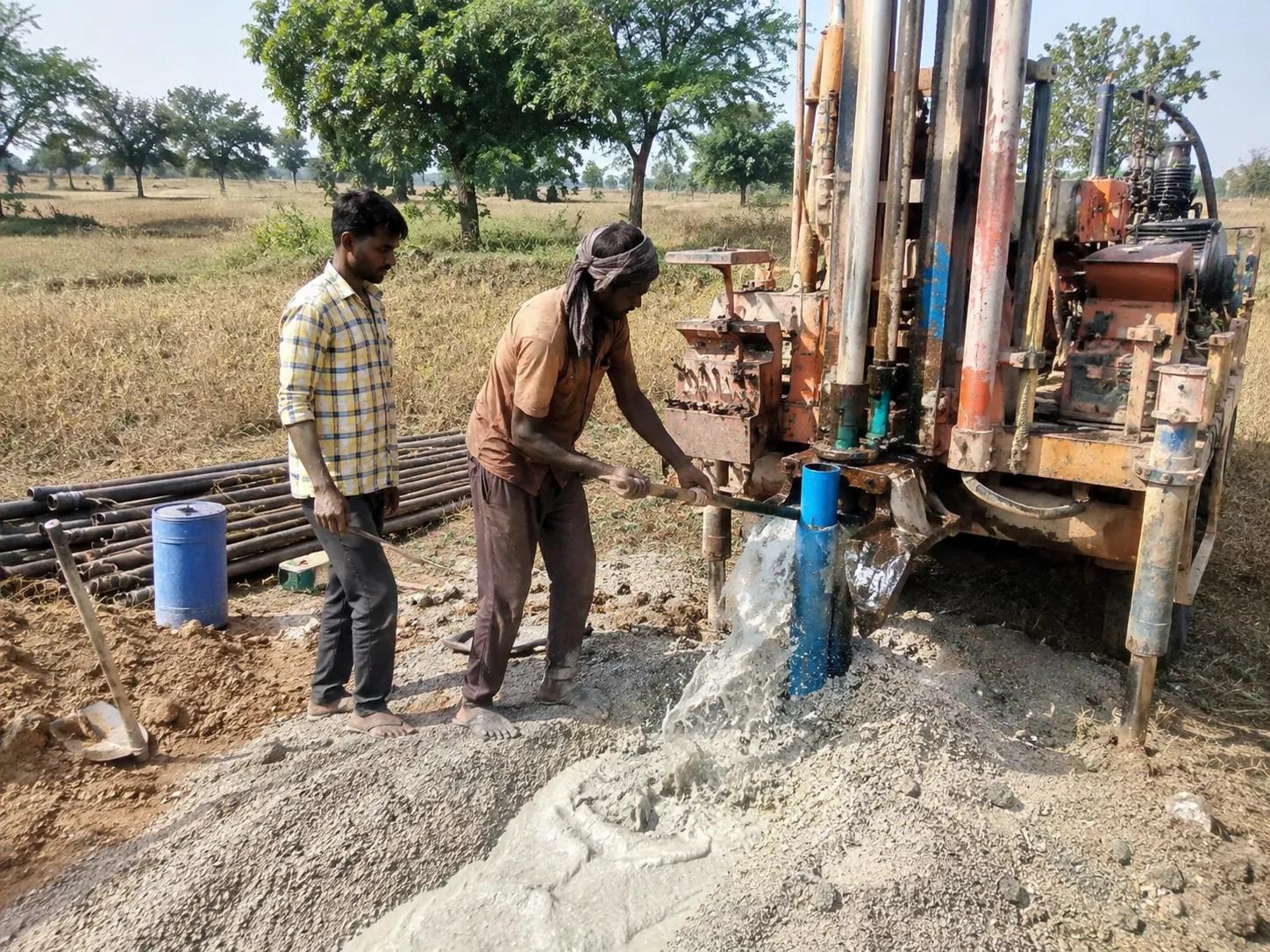
Most borewell failures happen due to lack of scientific planning. A professional hydrogeological survey ensures borewell success with accurate water-bearing zone identification....
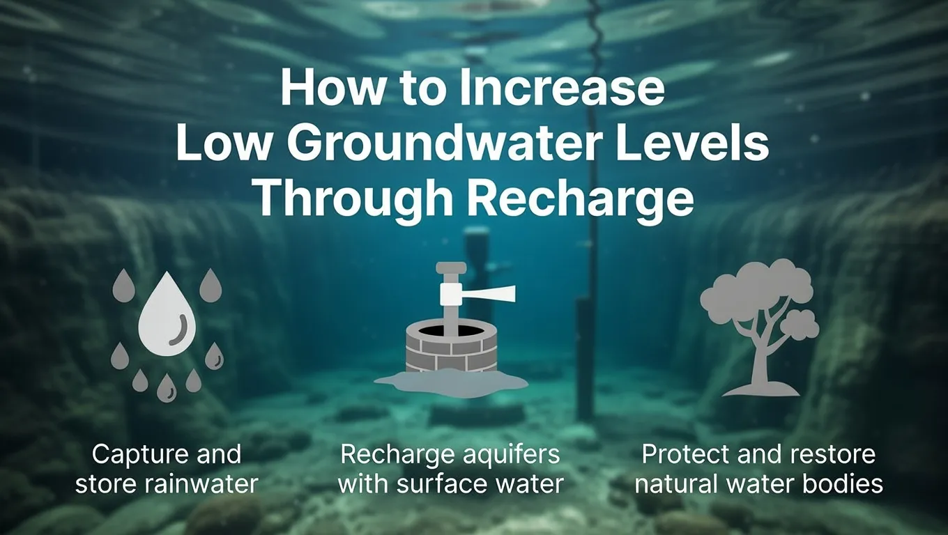
Recharging of Ground Water: Complete Guide to Sustainable Solutions
- Nikhil Jagetiya
- Mar, 2026
Scientific recharging of ground water can reverse decades of aquifer depletion and secure water availability for future generations....
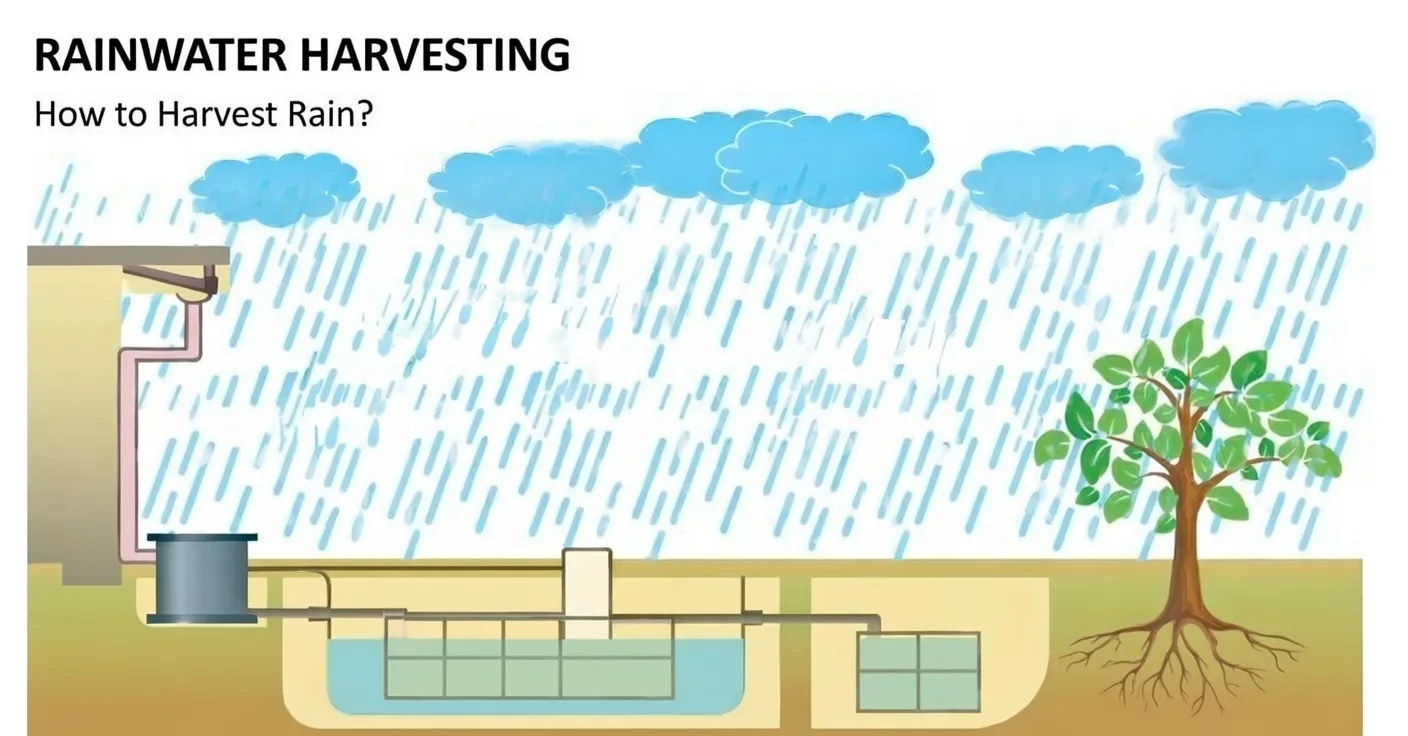
Water Harvester: Complete Guide to Rainwater Harvesting Systems
- Nikhil Jagetiya
- Mar, 2026
A water harvester is a complete rainwater harvesting system that collects, filters, and stores rainwater or sends it underground to recharge your borewell....

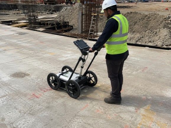
GPR Surveyor Services: Expert Underground Scanning
- Nikhil Jagetiya
- Mar, 2026
A professional GPR Surveyor helps you see underground without breaking a single shovel of soil, locating pipes, wires, and hollow spaces accurately....
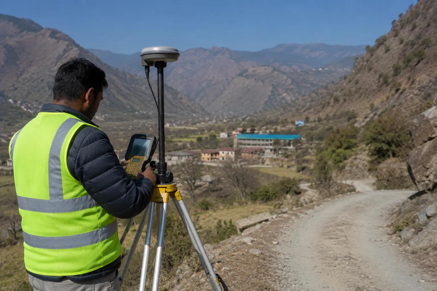
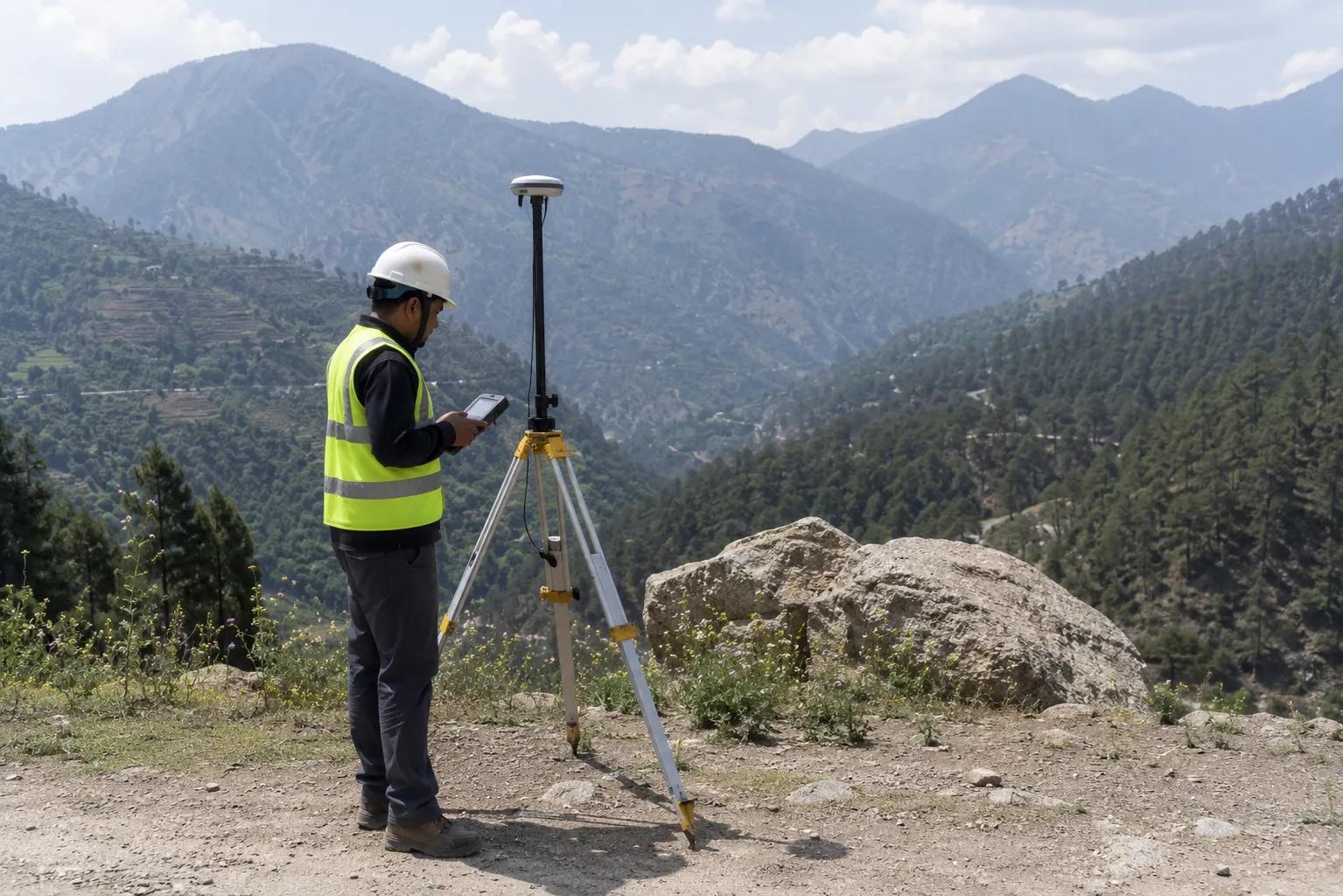
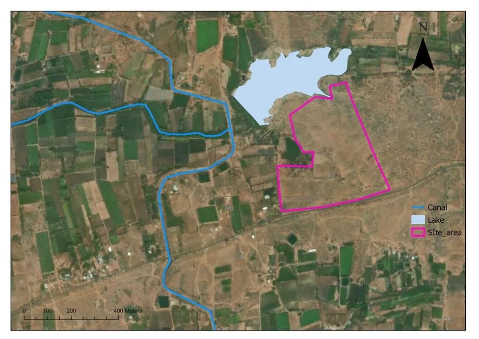
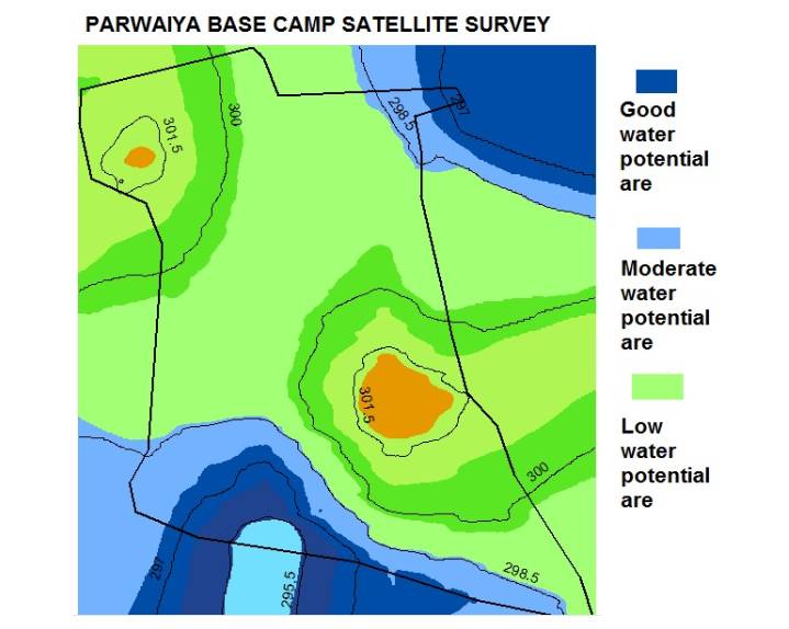
Satellite topographical survey for road project
- Nikhil Jagetiya
- 15 Aug, 2025
Satellite topographical survey for road project...
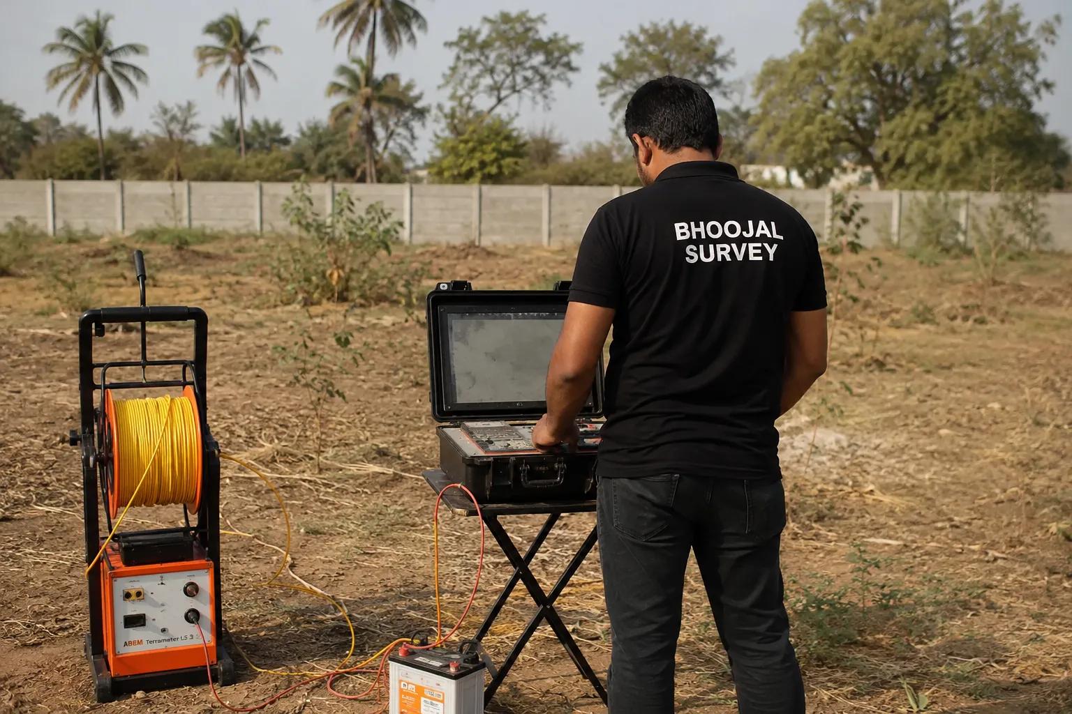
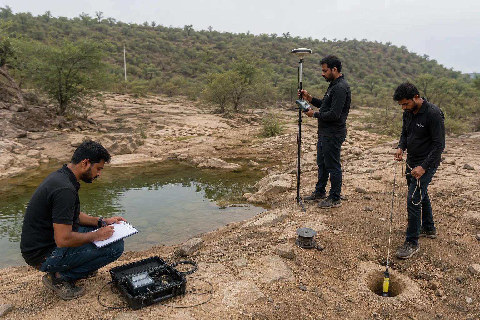
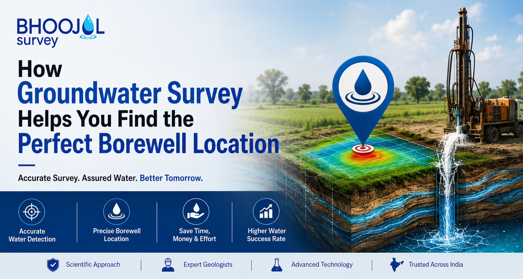
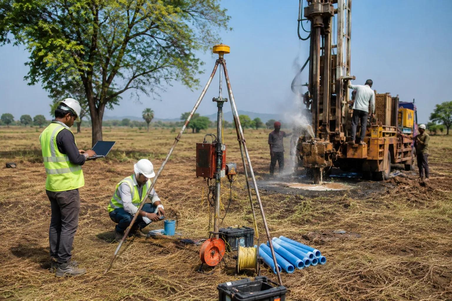
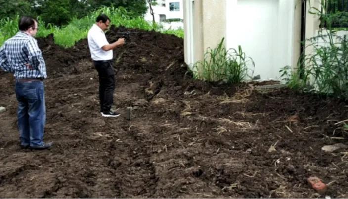
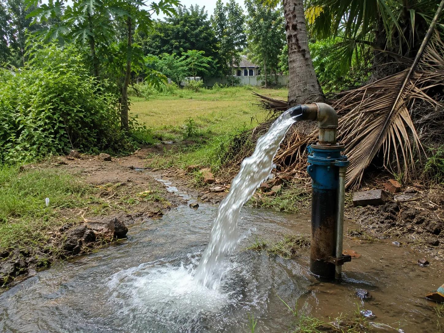
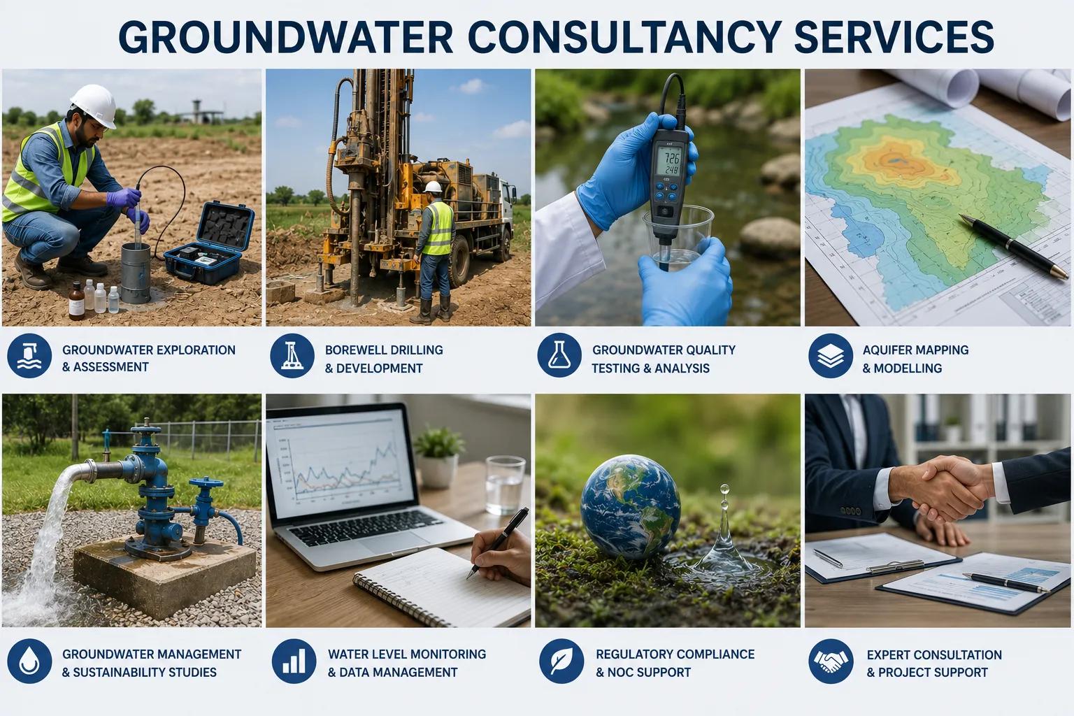
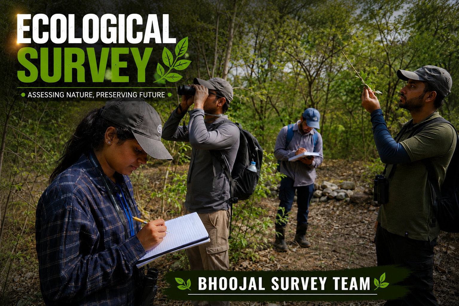
Why Groundwater Surveys Matter
- Nikhil Jagetiya
- 27 Feb, 2025
Water is life. Yet, its most crucial source—groundwater—remains hidden beneath our feet. This vital resource supports drinking water...
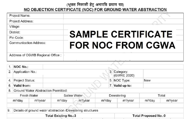
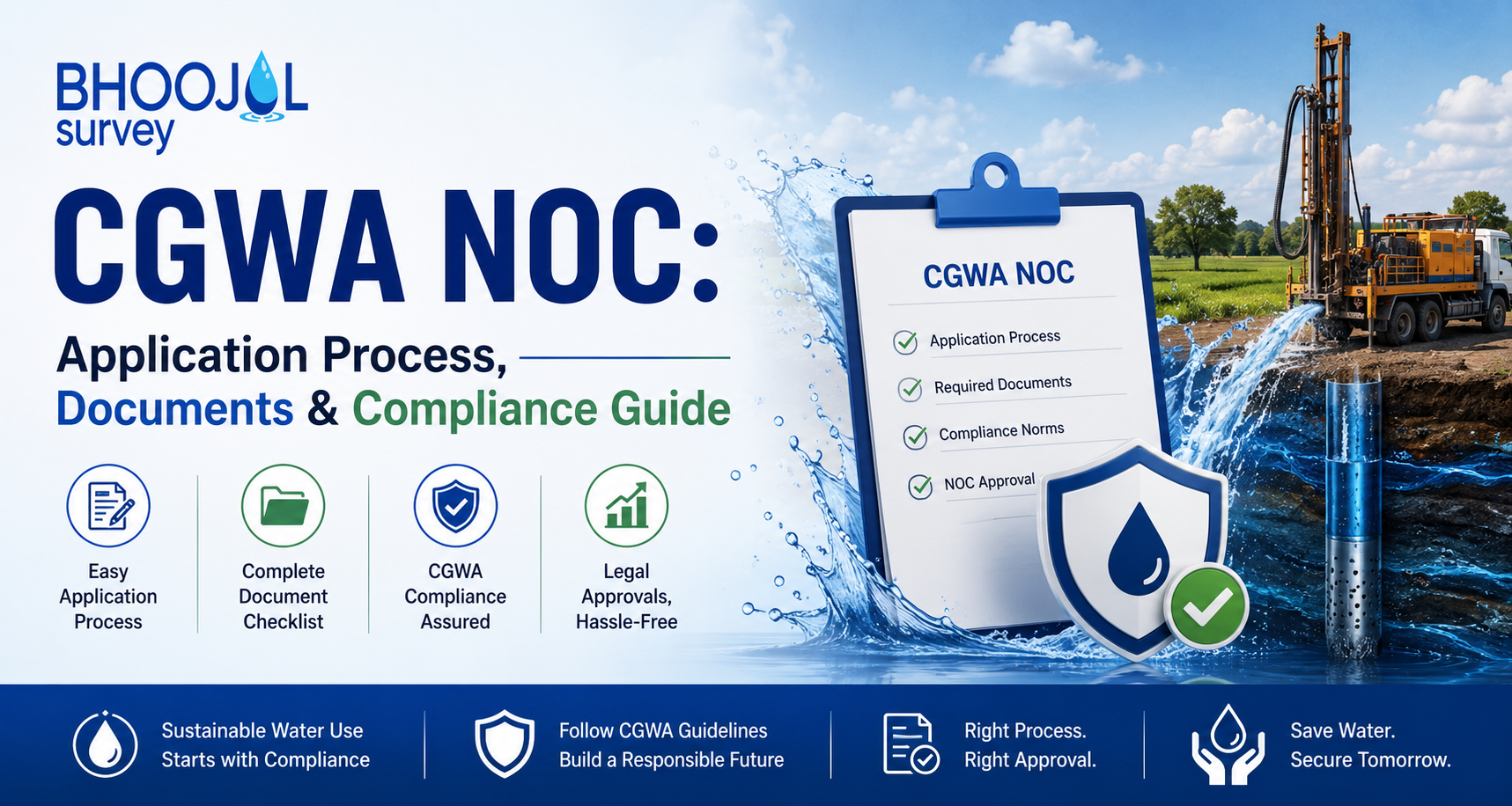
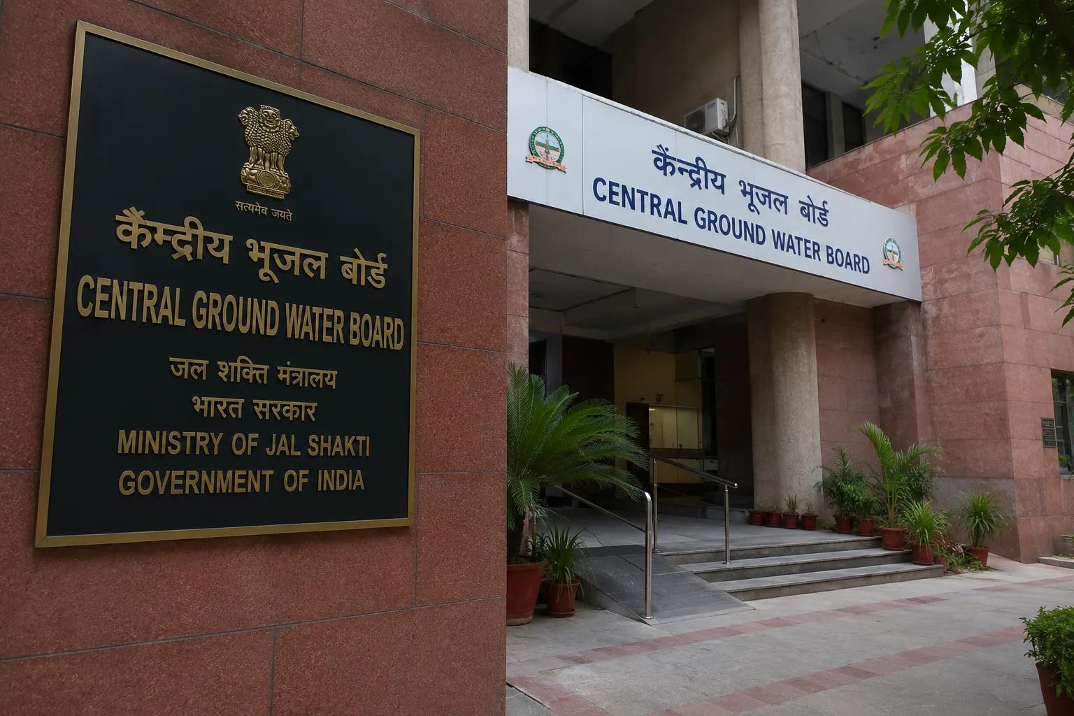
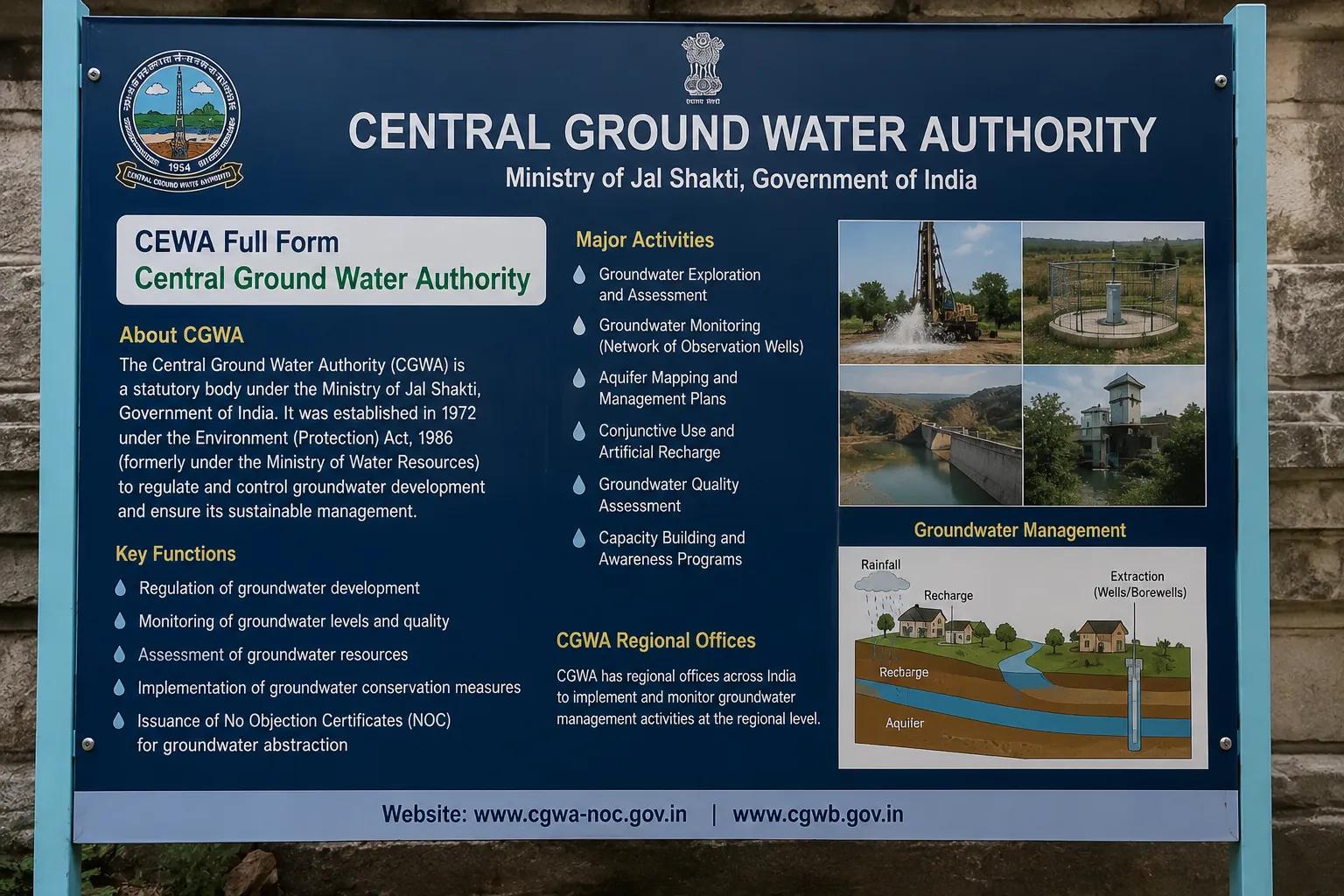
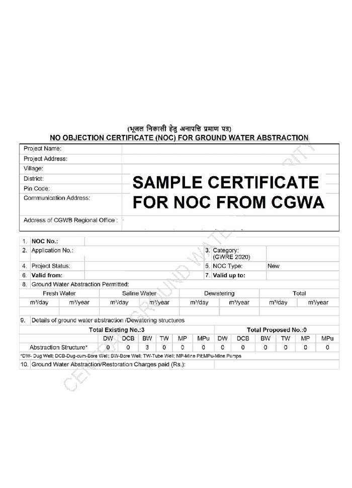
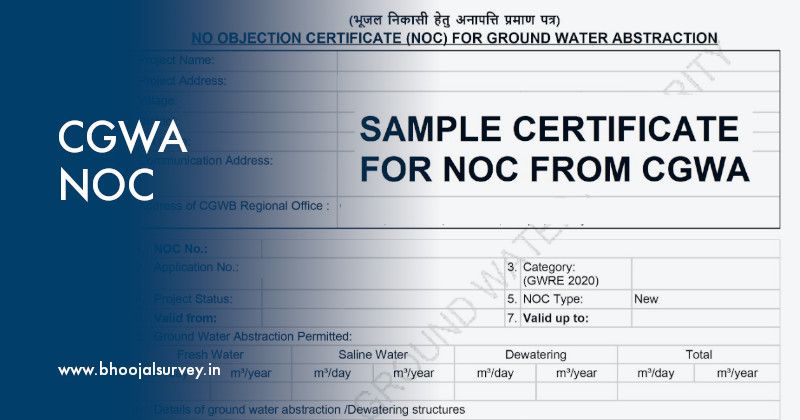
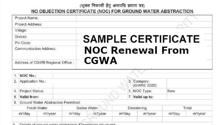
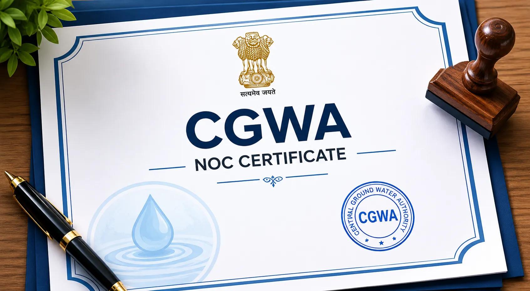
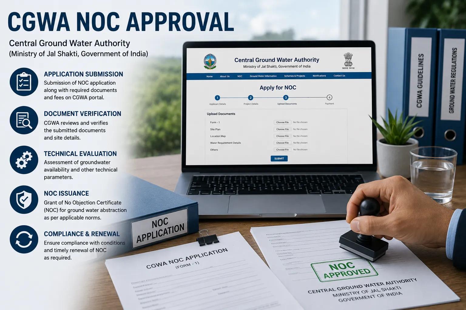
How to obtain NOC from CGWA?
- Nikhil Jagetiya
- July 22, 2023
CGWA NOC makes sure that groundwater extraction is performed...
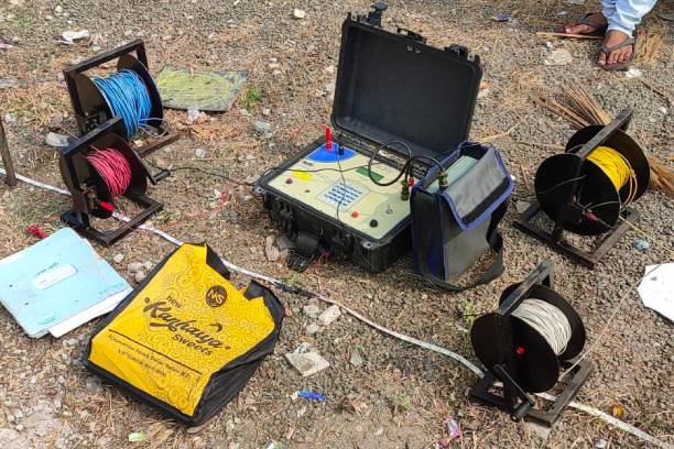
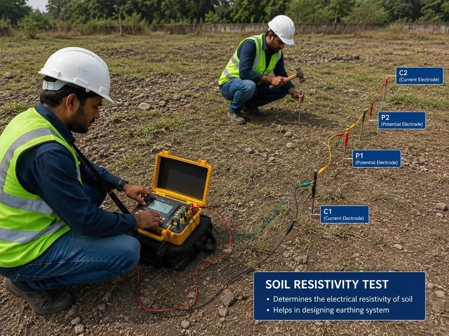
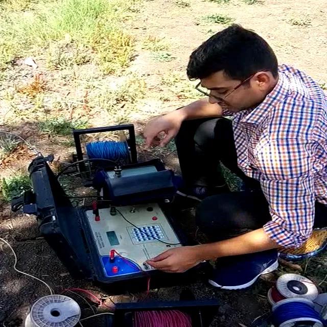
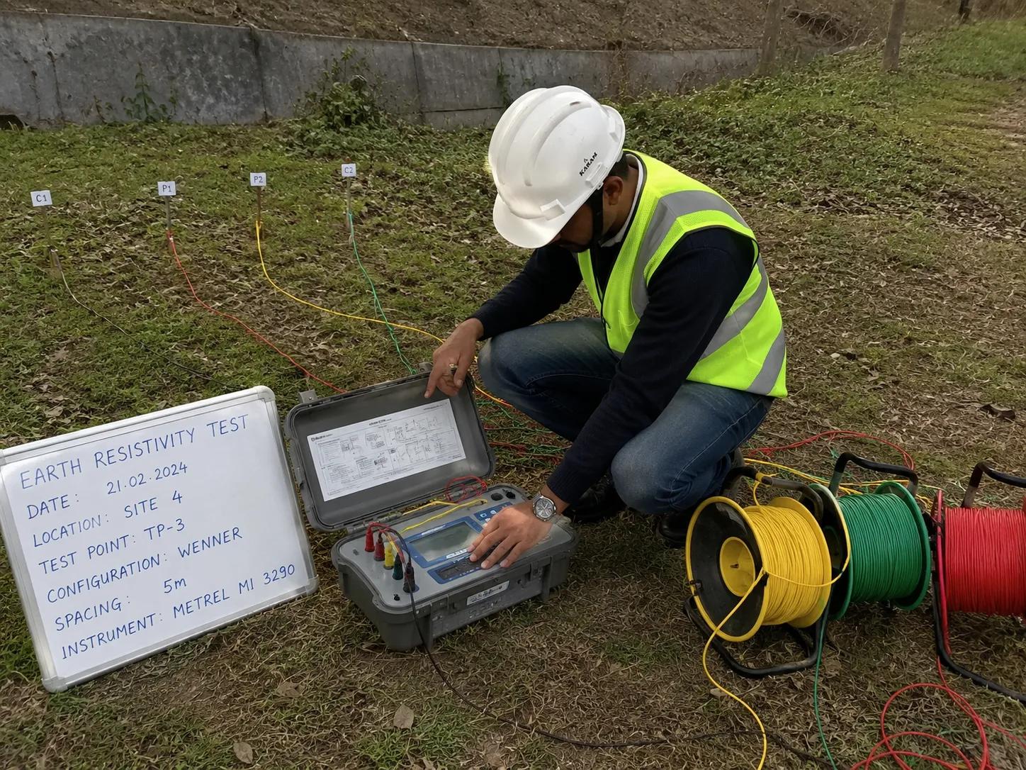
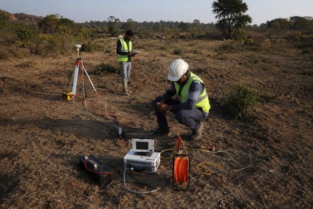
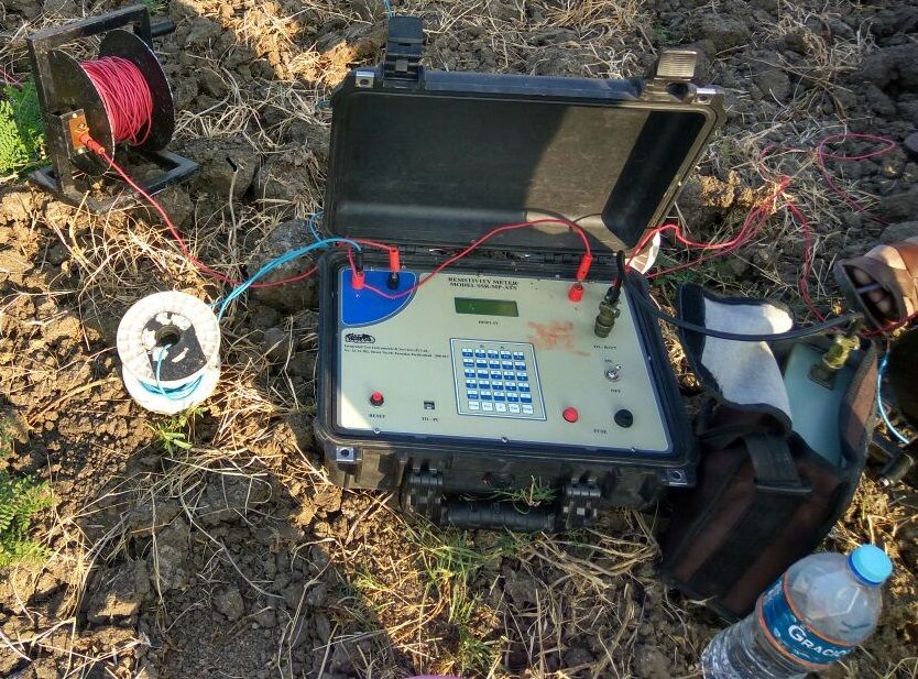
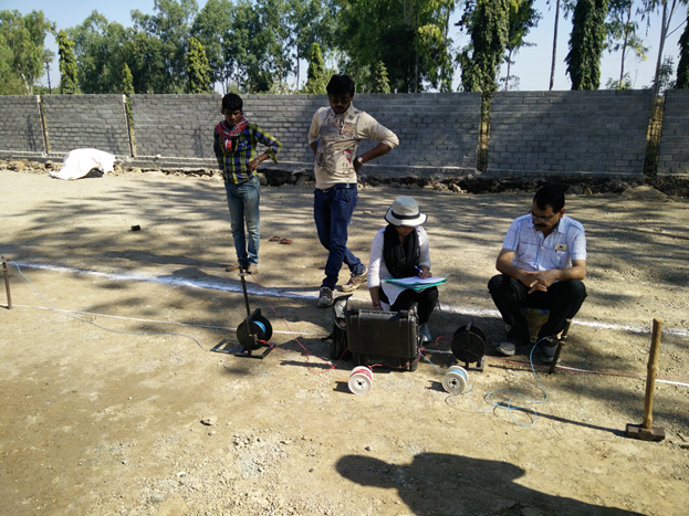
What is Soil Resistivity Test?
- Nikhil Jagetiya
- July 29, 2023
Soil resistivity test is conducted to measure the resistance of soil...
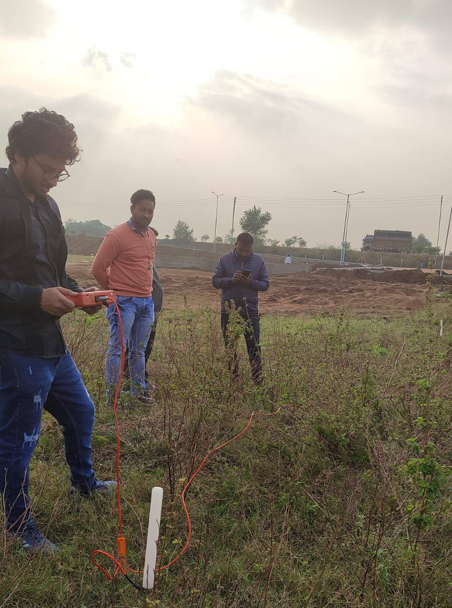
How to locate underground water using Electromagnetic waves?
- Nikhil Jagetiya
- July 29, 2023
In conventional electromagnetic (EM) surveys a transmitter radiates....

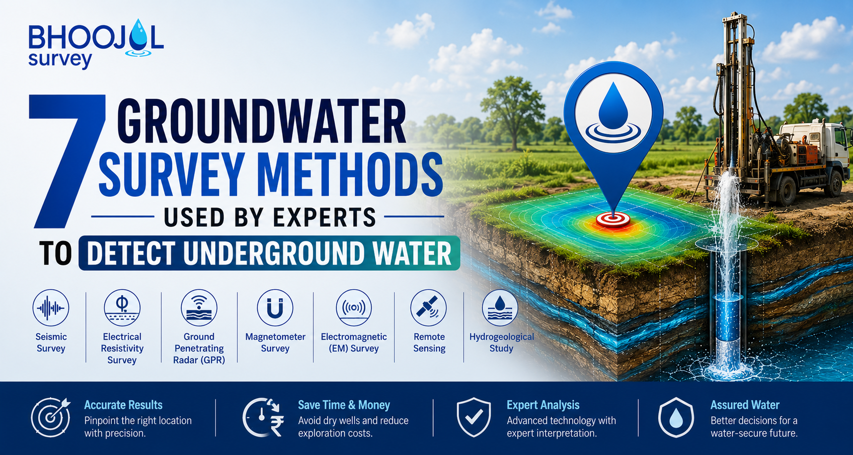
Ground Water Survey in India
- Nikhil Jagetiya
- Sept 12, 2023
Ground water survey also known as hydrogeological and Geophysical survey....
The Role of GIS and Remote Sensing in Water Resource Management
- Nikhil Jagetiya
- 06 March, 2025
Water is one of Earth's most vital resources. Managing it properly is not just essential for survival...
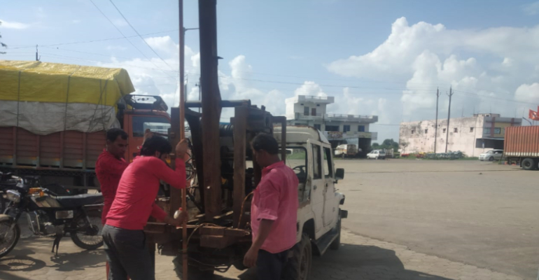
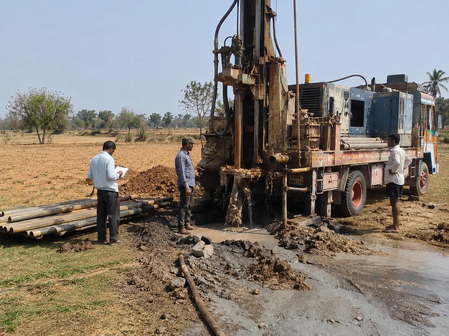
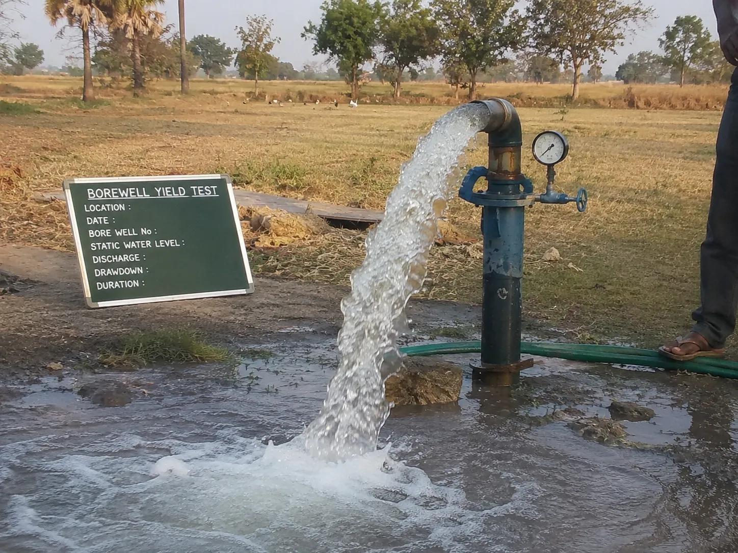
Yield testing of Borewell
- Nikhil Jagetiya
- Sept 23, 2023
Yield testing of borewell is pumping test conducted to determine optimum output....

Understanding Soil Resistivity Testing: Methods, Procedure, and Cost
- Nikhil Jagetiya
- March 11, 2024
Soil resistivity testing is a crucial component in various engineering....

How to Detect Underground Water for Borewell: A Comprehensive Guide
- Nikhil Jagetiya
- March 02, 2024
Detecting underground water for borewell drilling....
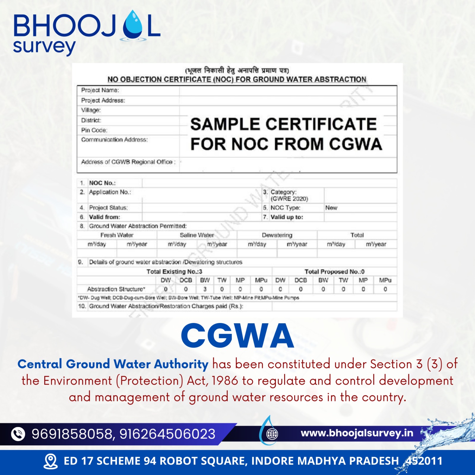
Unveiling the Latest CGWA Guidelines on Ground Water NOC: A Comprehensive Guide
- Nikhil Jagetiya
- 1 Mar, 2023
Central Ground Water Authority (CGWA) has recently updated its guidelines....
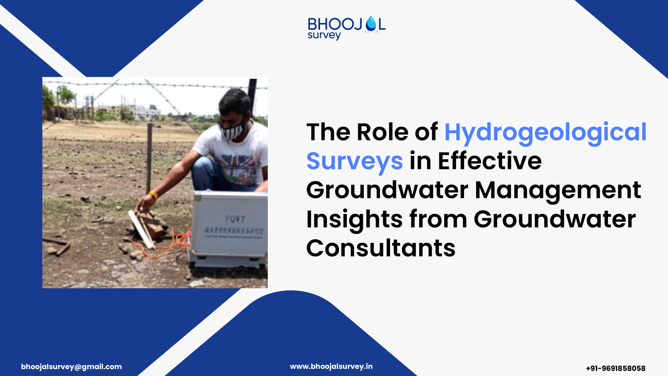
The Role of Hydrogeological Surveys in Effective Groundwater Management: Insights from Groundwater Consultants
- Nikhil Jagetiya
- 10 June, 2024
Discover how hydrogeological surveys by expert groundwater consultants enhance....
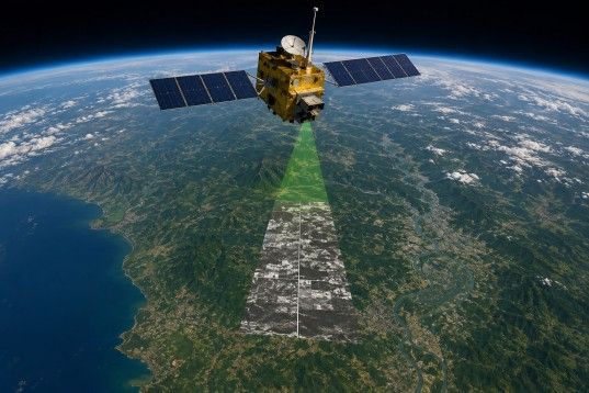
What is Satellite Surveying of Land? Equipment, Uses and How accurate is it?
- Nikhil Jagetiya
- 4 May, 2024
Discover satellite surveying: learn about equipment, applications, and accuracy....
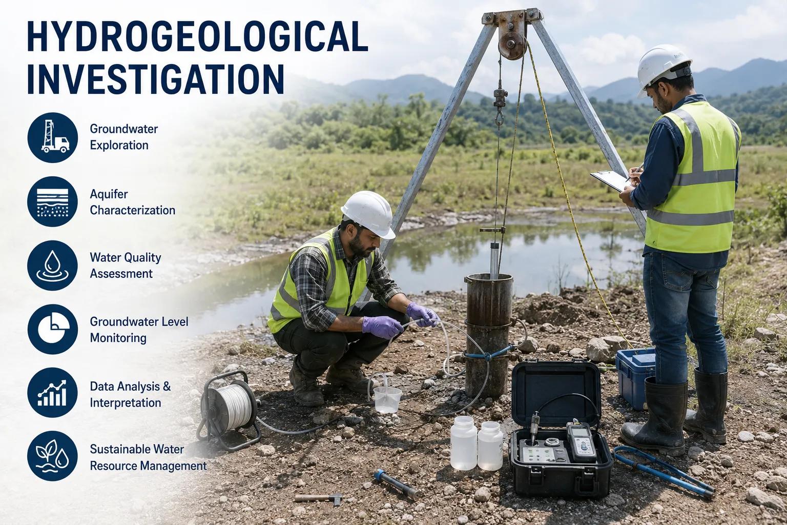
Understanding Hydrogeological Surveys and Their Role in Groundwater Management
- Nikhil Jagetiya
- 19 Nov, 2023
Hydrogeology is the branch of geology that focuses on the distribution, movement, and quality of groundwater....
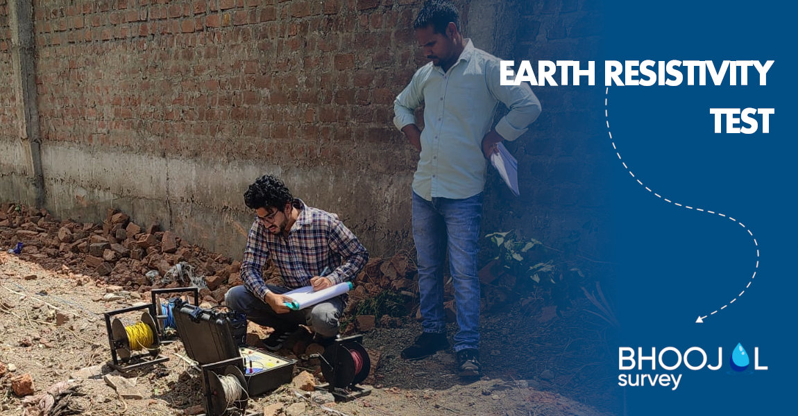
Understanding Earth Resistivity Testing: A Comprehensive Guide
- Nikhil Jagetiya
- 6 Dec, 2023
Earth resistivity testing is a crucial process in various engineering and environmental applications.....
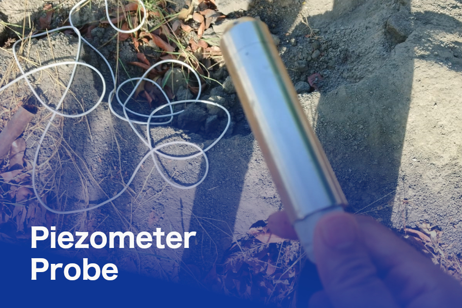
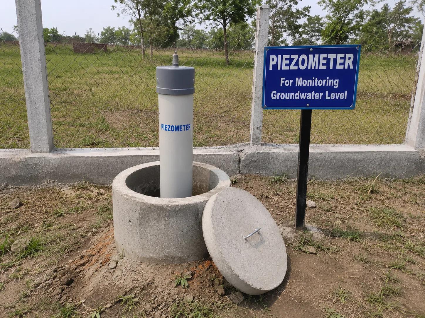
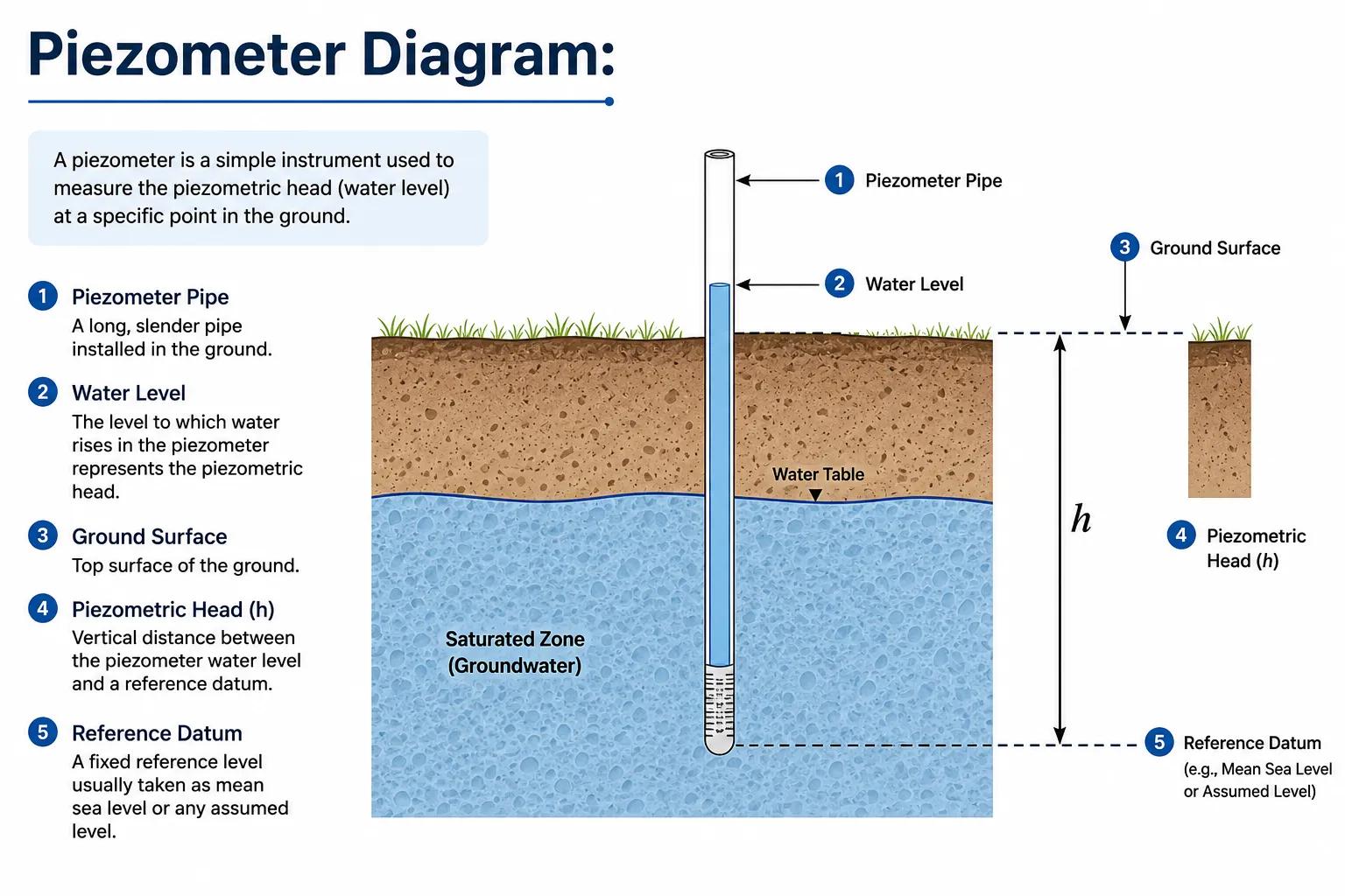
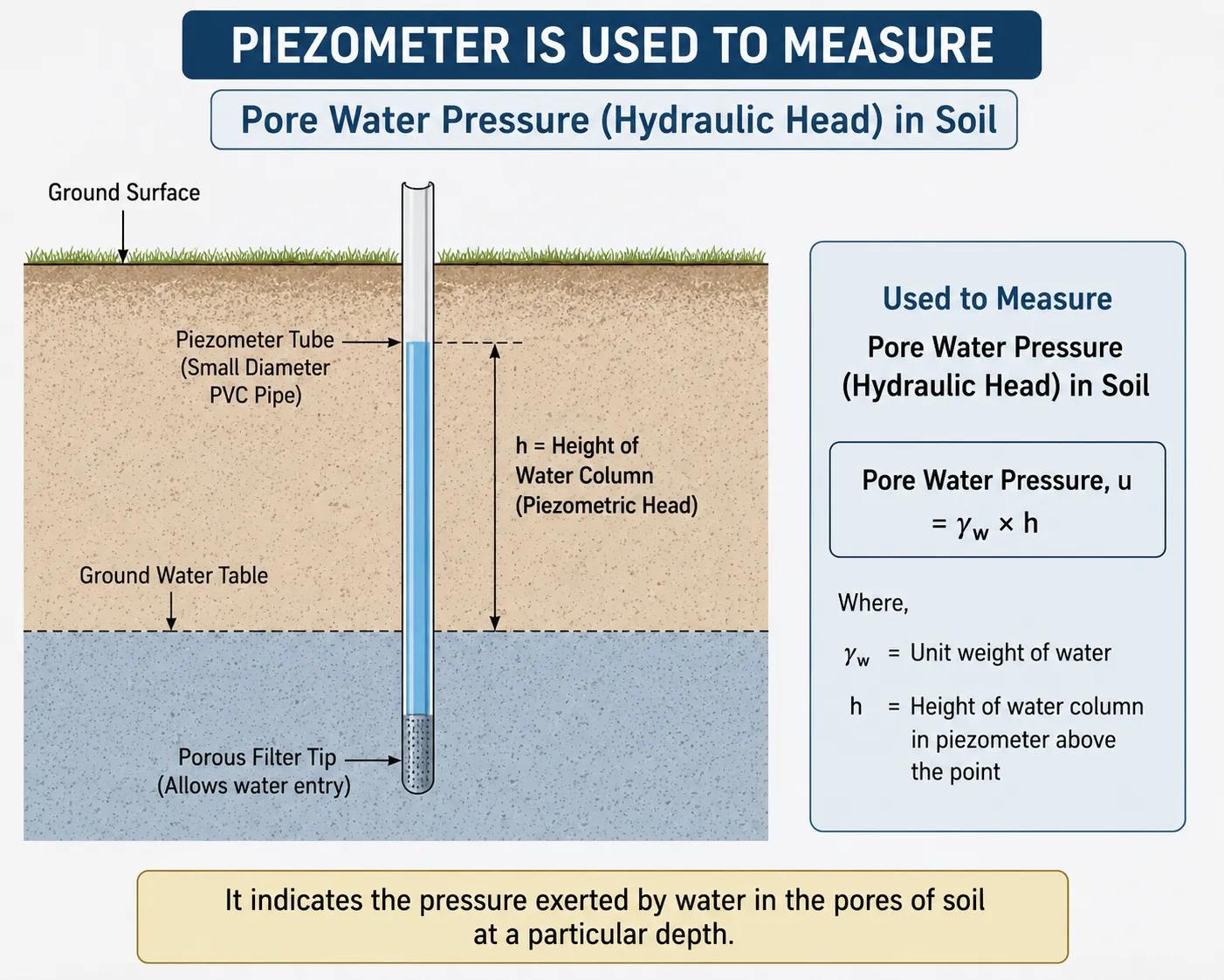
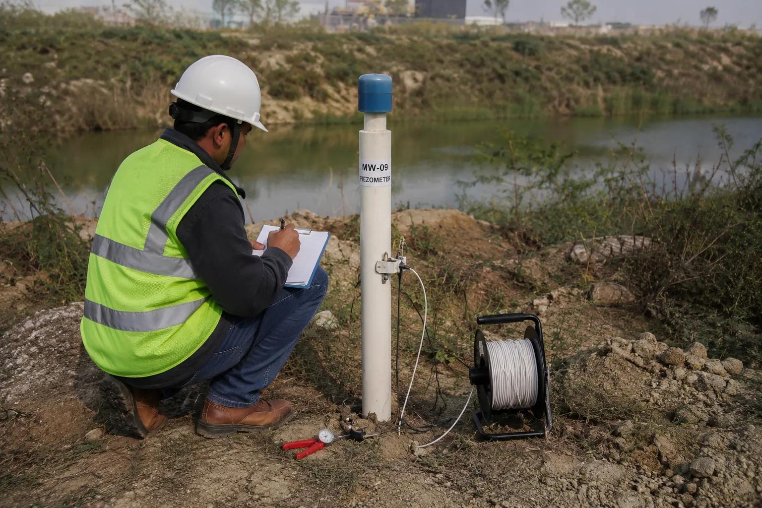
The Role of Piezometers in Groundwater Monitoring and Flood Risk Assessment
- Nikhil Jagetiya
- 6 Dec, 2024
Piezometers are essential instruments in hydrology that provide valuable data for groundwater monitoring and flood risk assessment.....

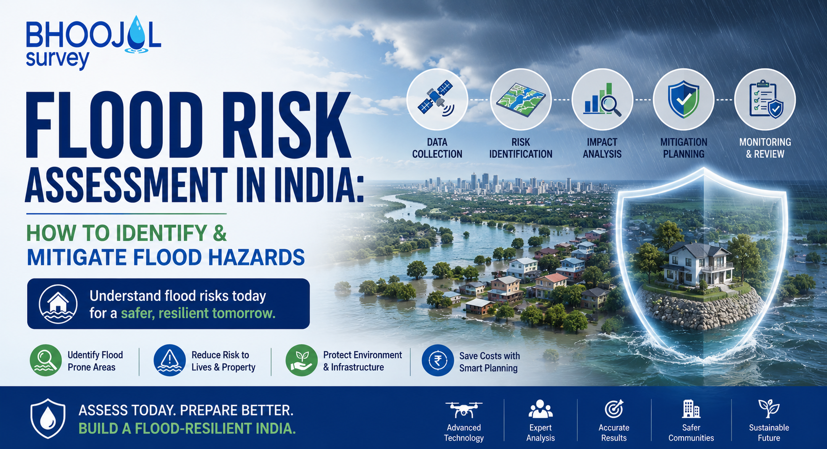
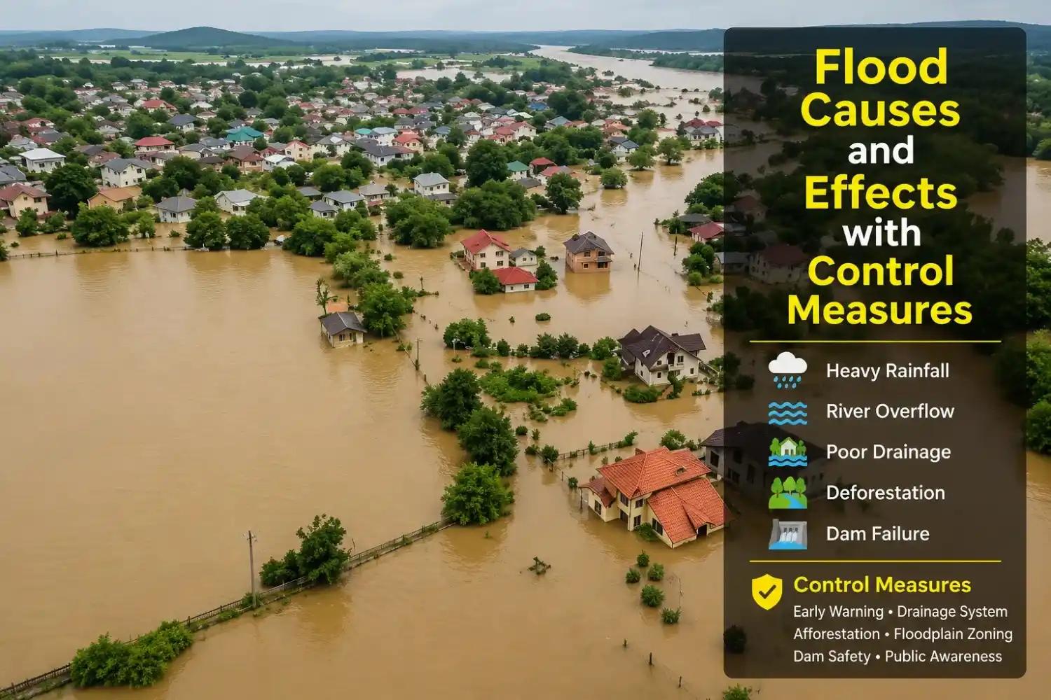
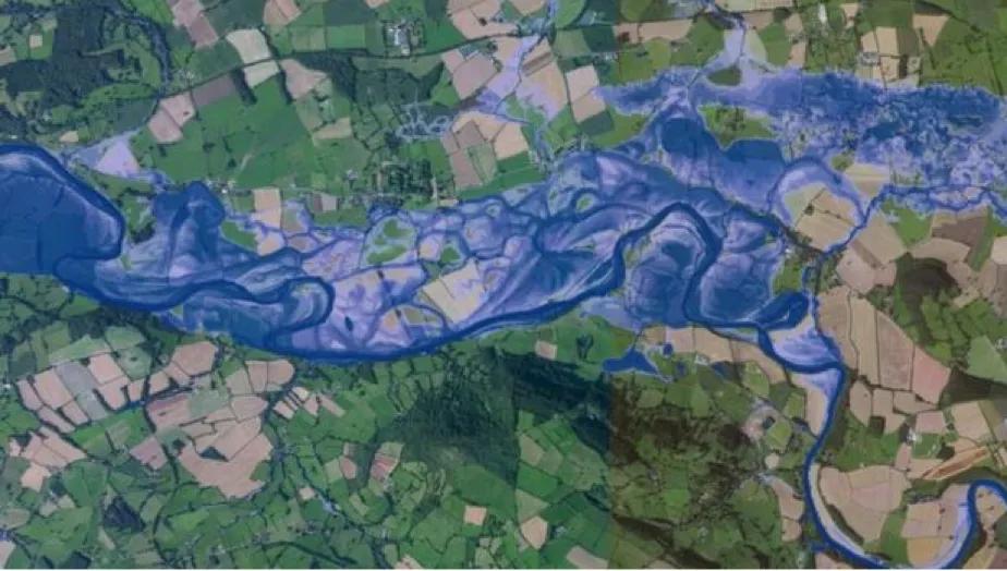
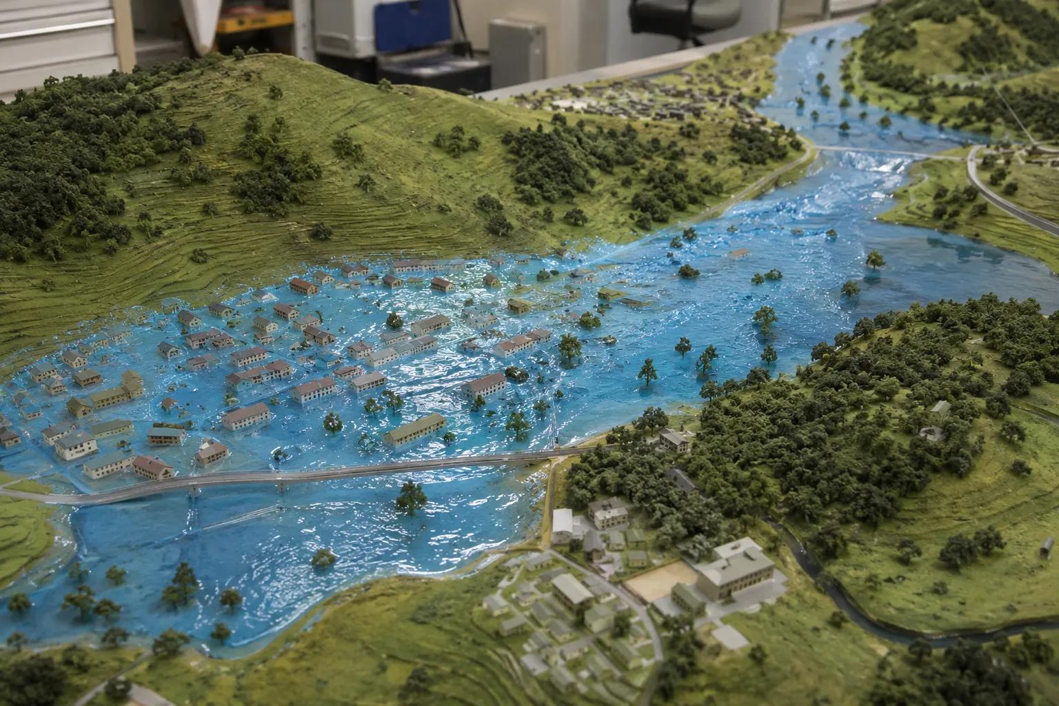
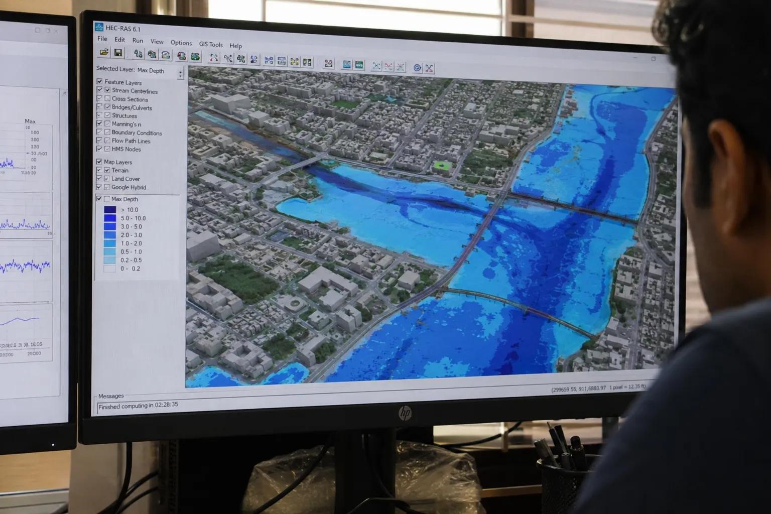
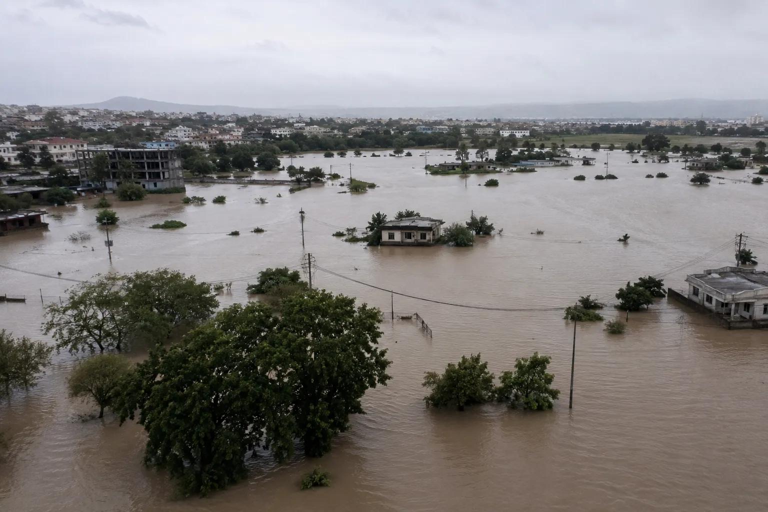
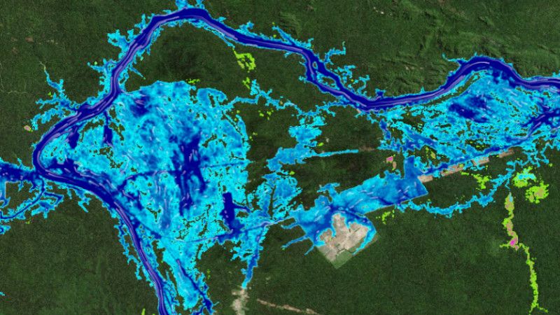
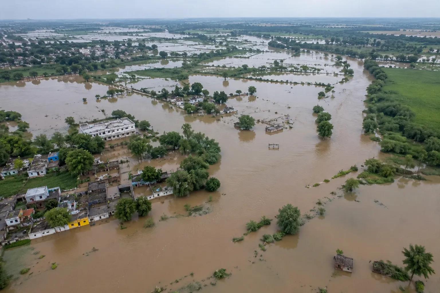
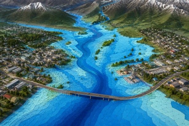
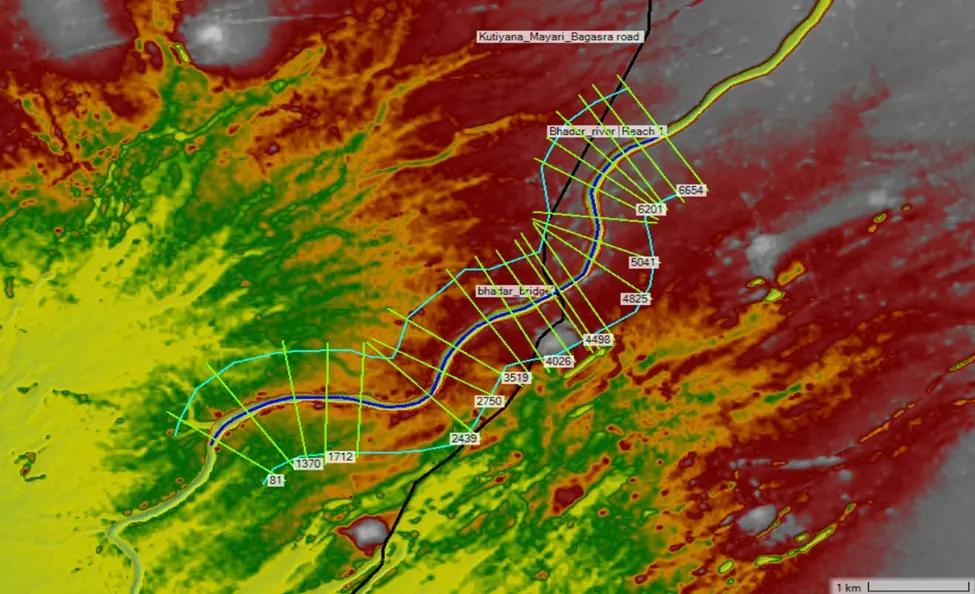
The Complete Guide to Flood Modeling: Understanding Its Importance and Best Practices
- Nikhil Jagetiya
- 6 Dec, 2024
Floods are one of the most common and destructive natural disasters, causing extensive damage to lives, property, and infrastructure every year....
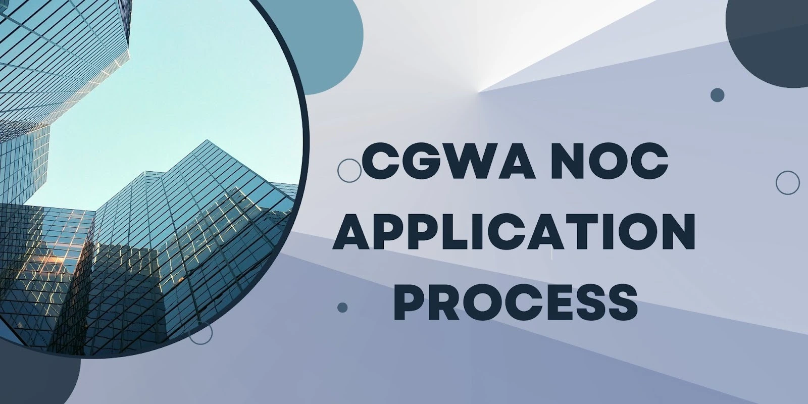
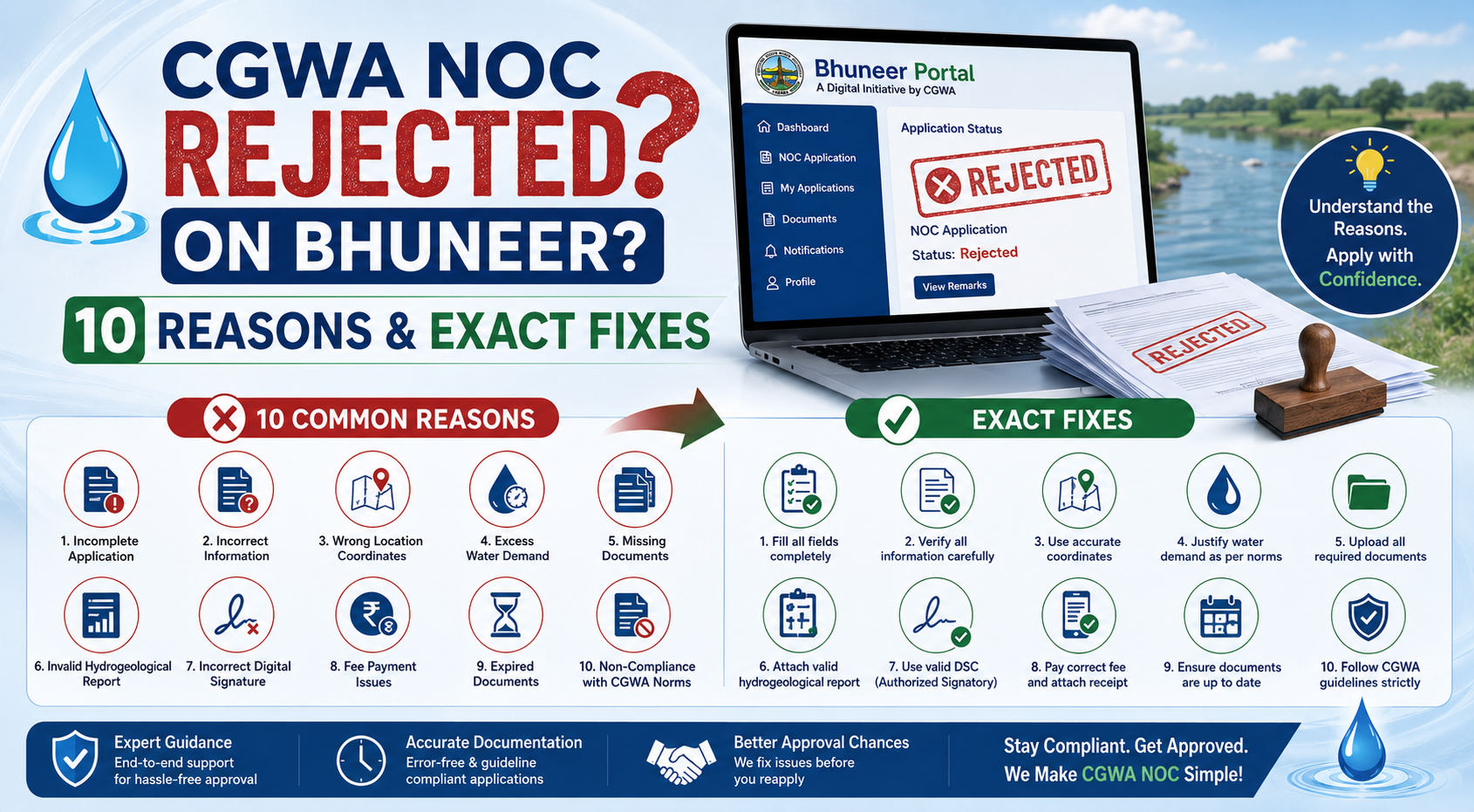
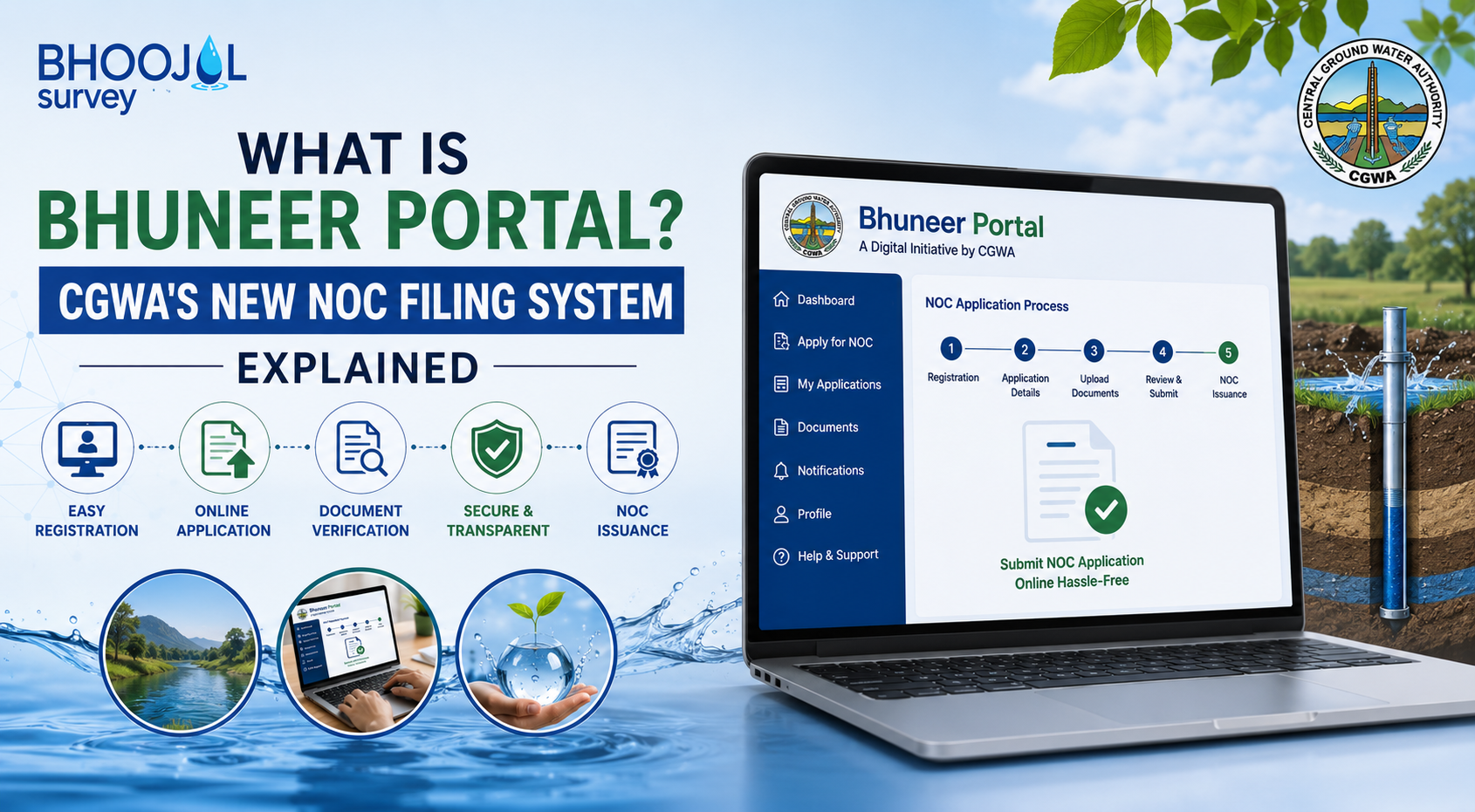
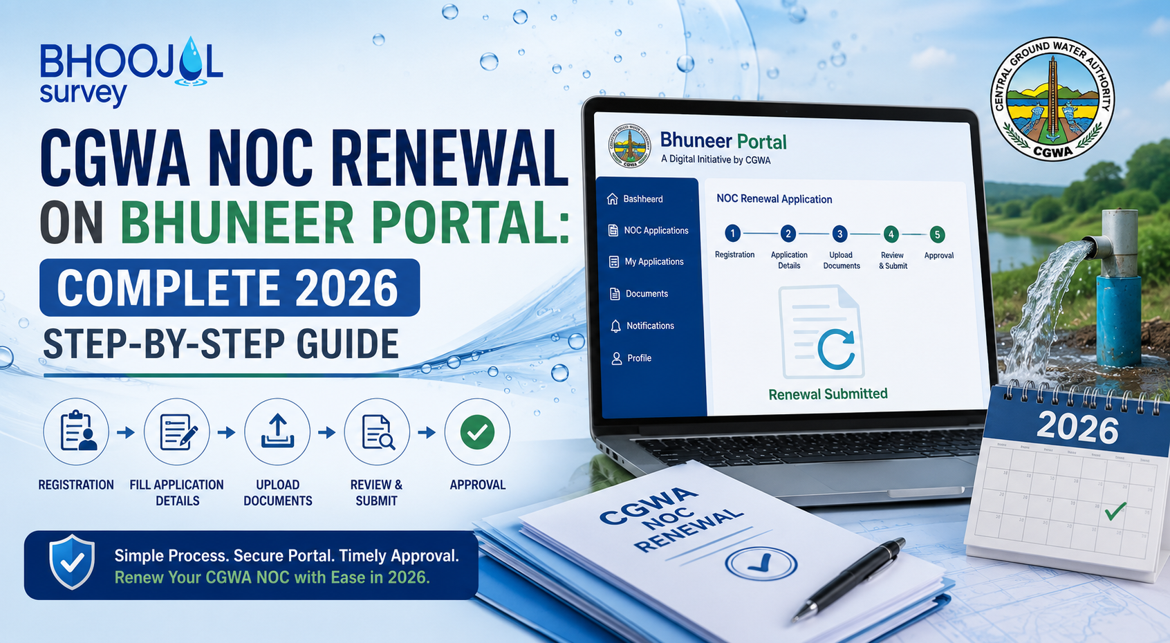
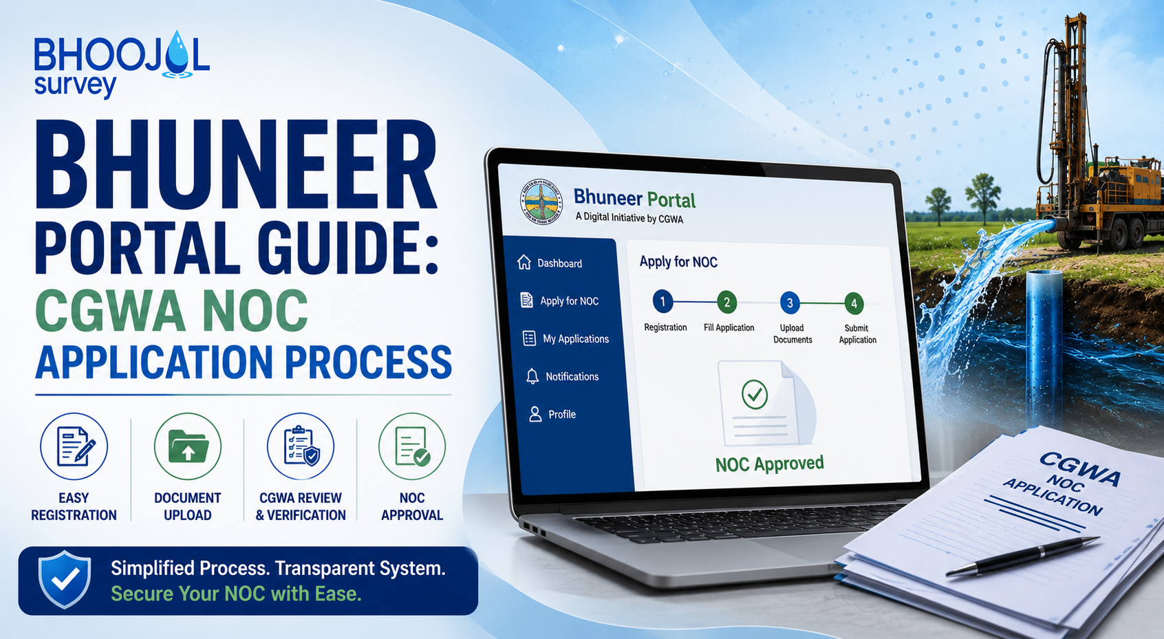
How to Apply for CGWA NOC Through the Bhu-Neer Portal
- Nikhil Jagetiya
- 09 Dec, 2024
Learn how to apply for CGWA NOC through the Bhu-Neer Portal. Follow this step-by-step guide to streamline your application process for groundwater usage....
The Role of Satellite Survey Maps in Urban and Rural Development
- Nikhil Jagetiya
- 21 Dec, 2024
Satellite survey maps are generated using data captured by satellites orbiting Earth.....
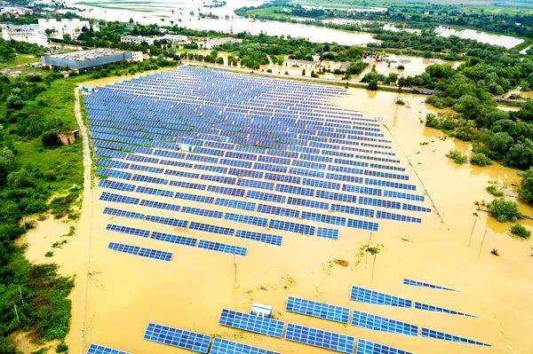
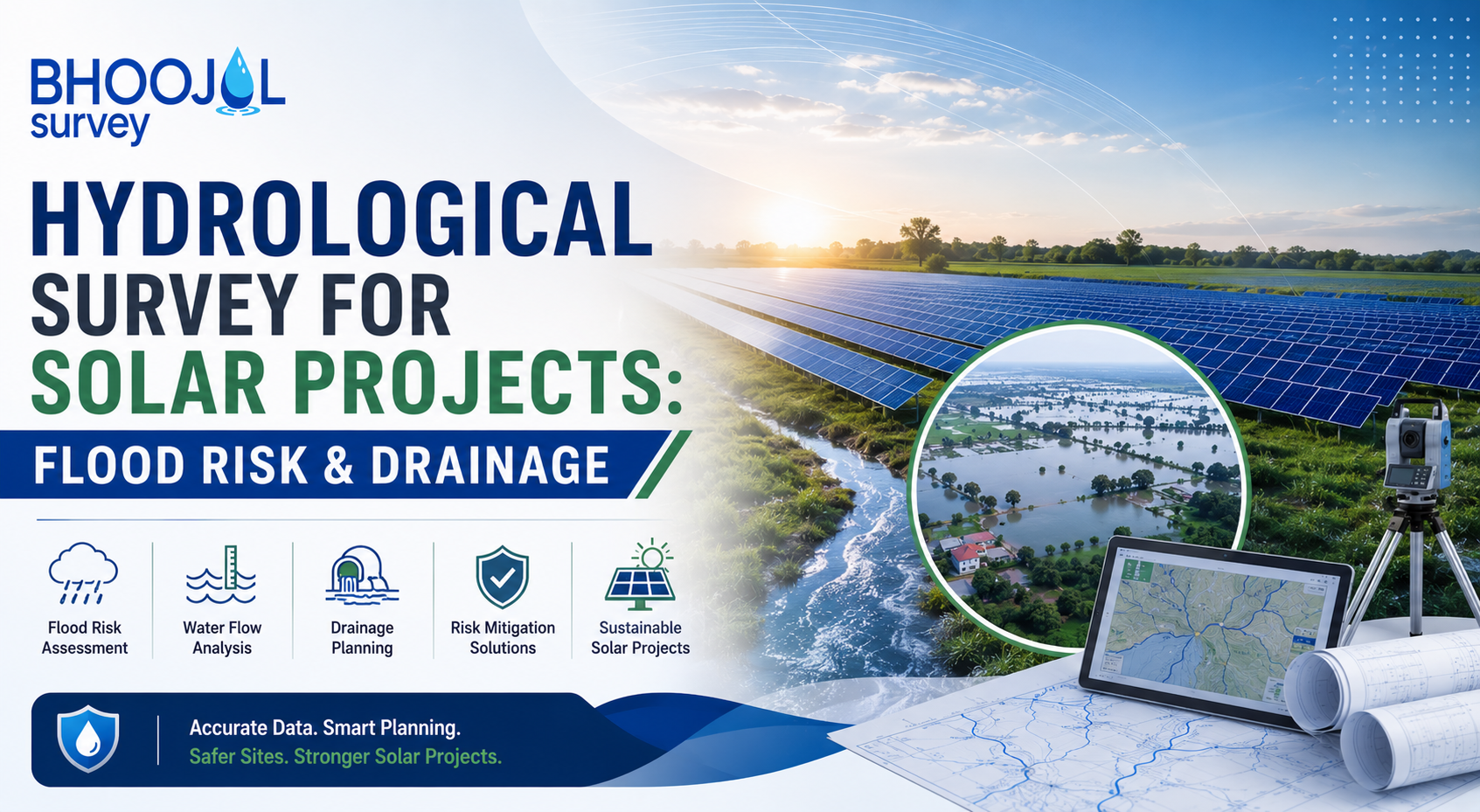
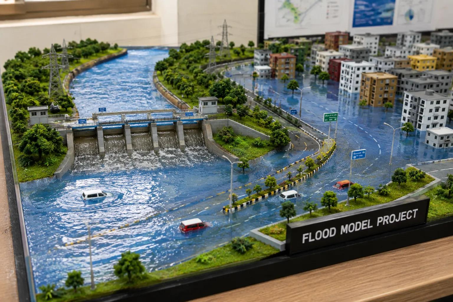
The Importance of Flood Modelling for Solar Plants
- Nikhil Jagetiya
- 2 Jan, 2024
As the world embraces renewable energy, solar plants have emerged as a cornerstone of sustainable development.....
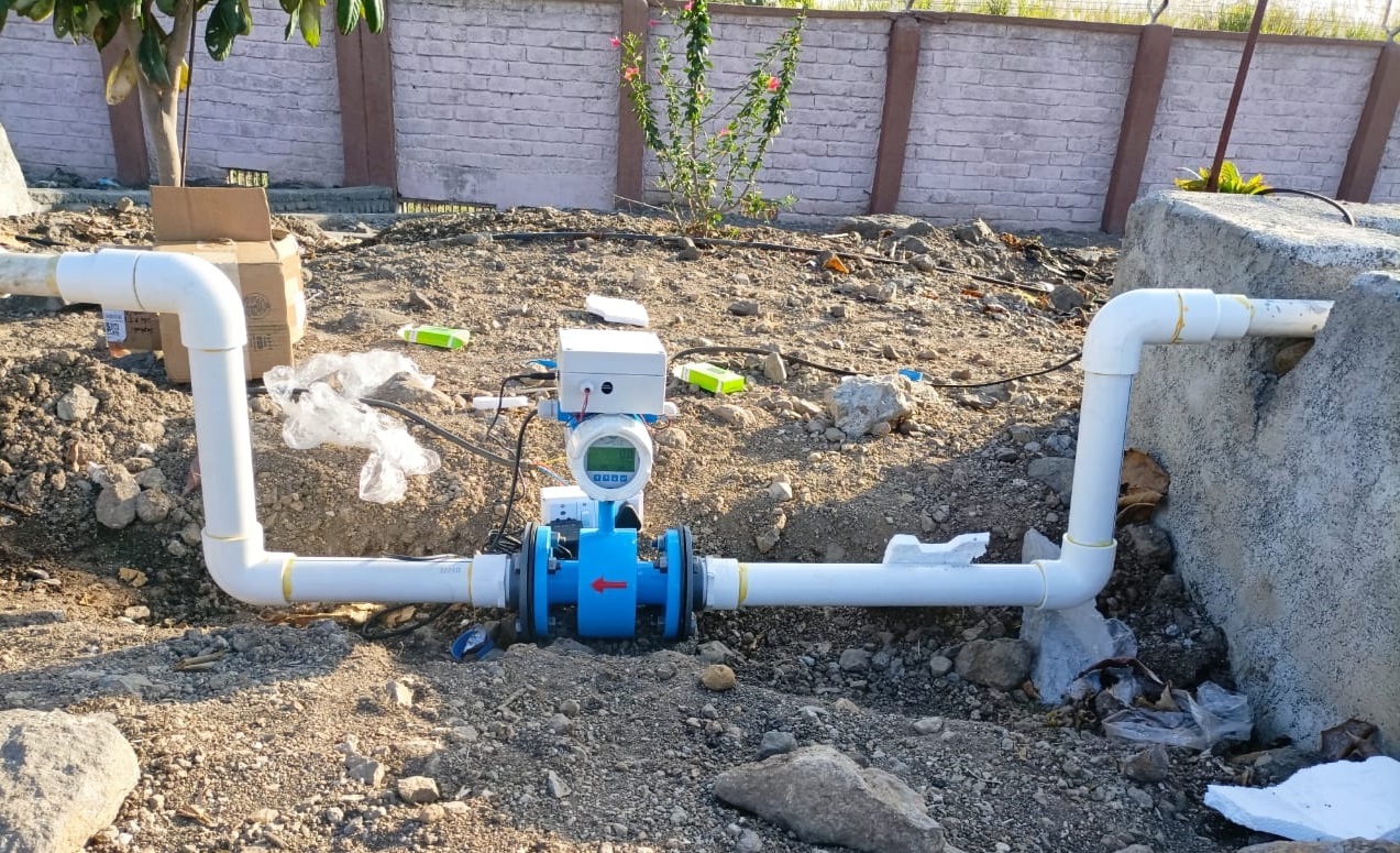
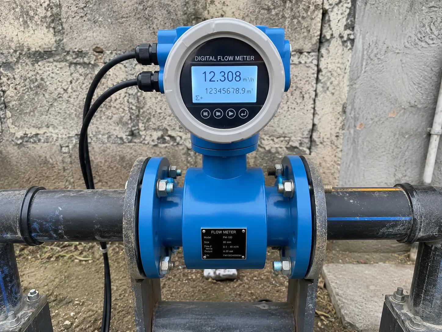
Digital flow meter with Telemetry System
- Nikhil Jagetiya
- 3 Jan, 2024
Bhoojal survey provides digital water flow meter with telemetry system for Groundwater extraction monitoring as per CGWA guidelines....
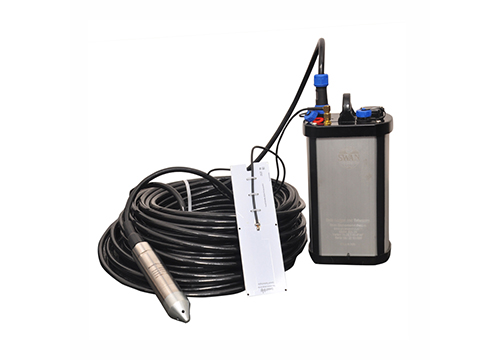
The Importance of Piezometers in Environmental Assessments
- Nikhil Jagetiya
- 4 Jan, 2024
A piezometer is a device that measures the pressure of groundwater at specific depths....
The Role of Satellite Survey Maps in Urban and Rural Development
- Nikhil Jagetiya
- 6 Jan, 2024
Satellite survey maps have become indispensable tools in modern urban and rural development.....

Satellite Survey of Land in India: Transforming Resource Management
- Nikhil Jagetiya
- 7 Jan, 2024
Satellite surveys are revolutionizing the way we perceive and manage land resources in India.....
Satellite Survey: Revolutionizing Land and Resource Management.
- Nikhil Jagetiya
- 8 Jan, 2024
Satellite surveys have emerged as a game-changing technology in the realm of land and resource management......
Piezometer for Borewell Applications.
- Nikhil Jagetiya
- 10 Jan, 2024
Piezometers are essential instruments used in borewell applications to measure groundwater levels and pressure......
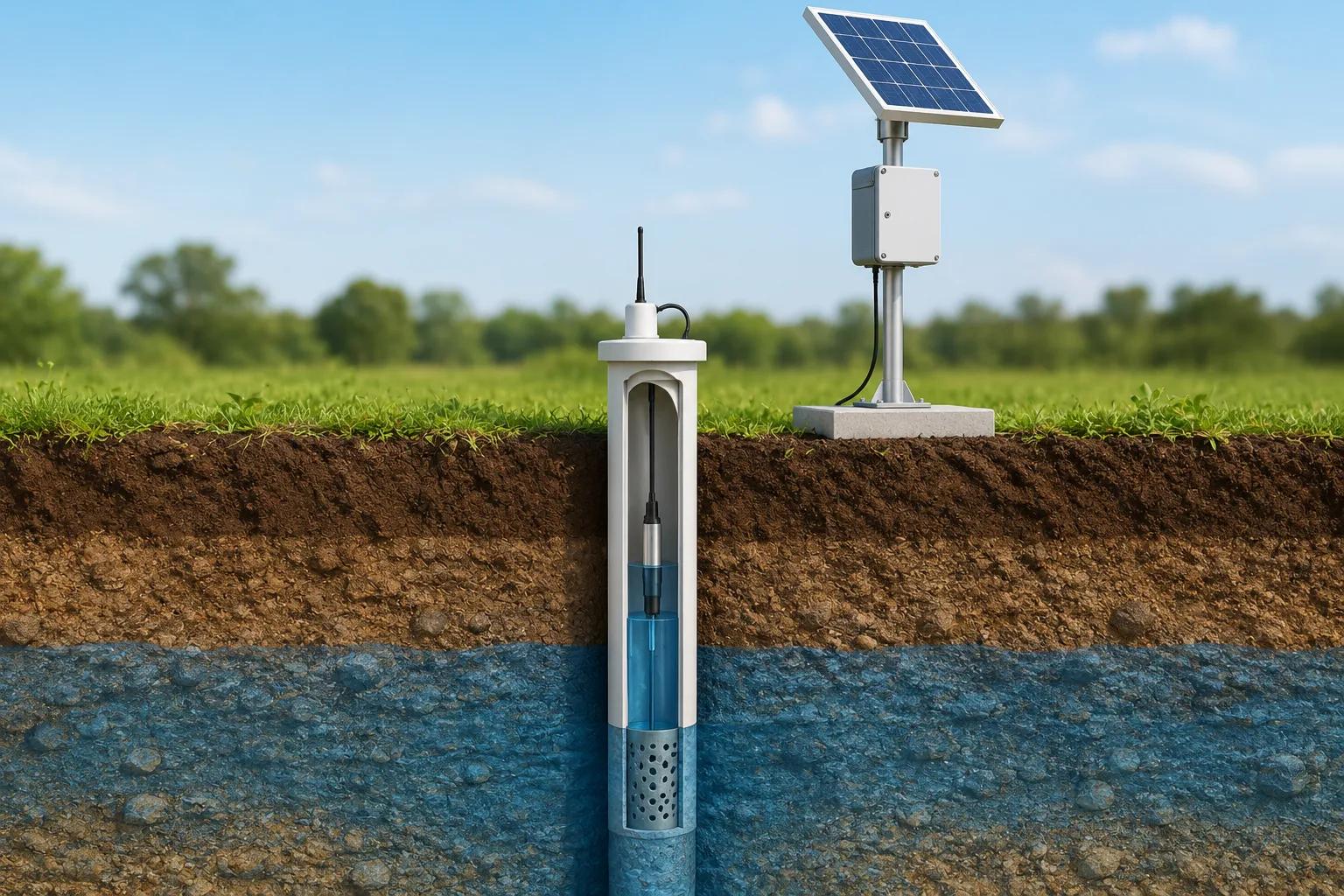
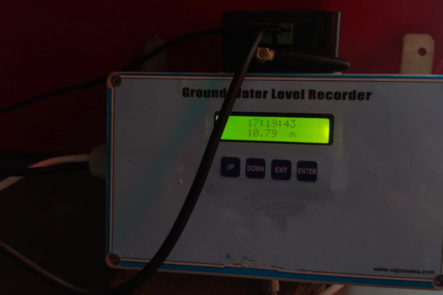
Digital Water Level Recorder
- Nikhil Jagetiya
- 13 Jan, 2024
A digital water level recorder is an essential tool used in groundwater monitoring. It provides accurate measurements of water levels in boreholes, wells, and other bodies of water......
How to Find Underground Water
- Nikhil Jagetiya
- 15 Jan, 2024
Finding underground water is crucial for various applications such as agriculture, drinking water supply, and industrial processes......
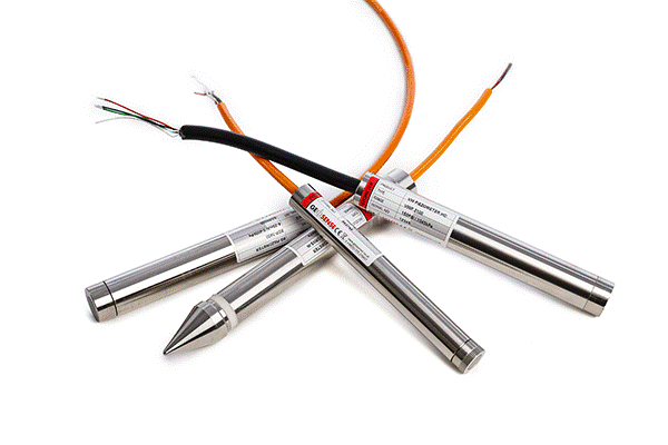
How Does a Vibrating Wire Piezometer Work?
- Nikhil Jagetiya
- 15 Jan, 2024
Vibrating wire piezometers are essential instruments used in geotechnical engineering and groundwater monitoring......
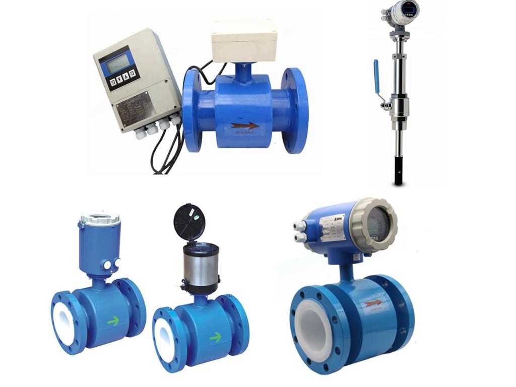
How Does an Electromagnetic Flow Meter Work?
- Nikhil Jagetiya
- 17 Jan, 2024
Electromagnetic flow meters are widely used instruments in various industries for measuring the flow of conductive liquids.....
Flood Modelling: Techniques and Applications
- Nikhil Jagetiya
- 20 Jan, 2024
Flood modelling is a critical component of water resource management. It involves simulating flood events to understand their dynamics and impacts on the environment and human settlements.....
Digital Water Level Recorder
- Nikhil Jagetiya
- 20 Jan, 2024
Discover advanced Digital Water Level Recorders (DWLR) designed for Bhoojal surveys....

How Satellite Topographical Surveys Help in Groundwater Exploration
- Nikhil Jagetiya
- 06 April, 2025
Discover how satellite-based topographical surveys are transforming groundwater exploration, flood prevention, and sustainable water management.

Emerging Technologies in Groundwater Survey
- Nikhil Jagetiya
- 06 May, 2025
Discover how technologies revolutionizing groundwater surveys.

Impact of Climate Change on Groundwater Levels
- Nikhil Jagetiya
- 06 May, 2025
Climate change is no longer a distant threat — it is a present reality affecting ecosystems worldwide...

why you need a CGWA consultant?
- Nikhil Jagetiya
- 06 May, 2025
If your business or industry extracts groundwater in India, you've likely heard of CGWA—the Central Ground Water Authority.

Hydrological Surveys in Climate Change Adaptation Strategies
- Nikhil Jagetiya
- 30 May, 2025
Climate change is reshaping global water systems, intensifying droughts, floods, and water scarcity.

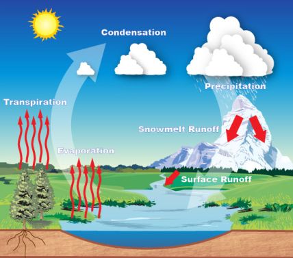
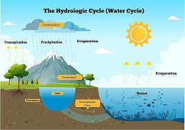
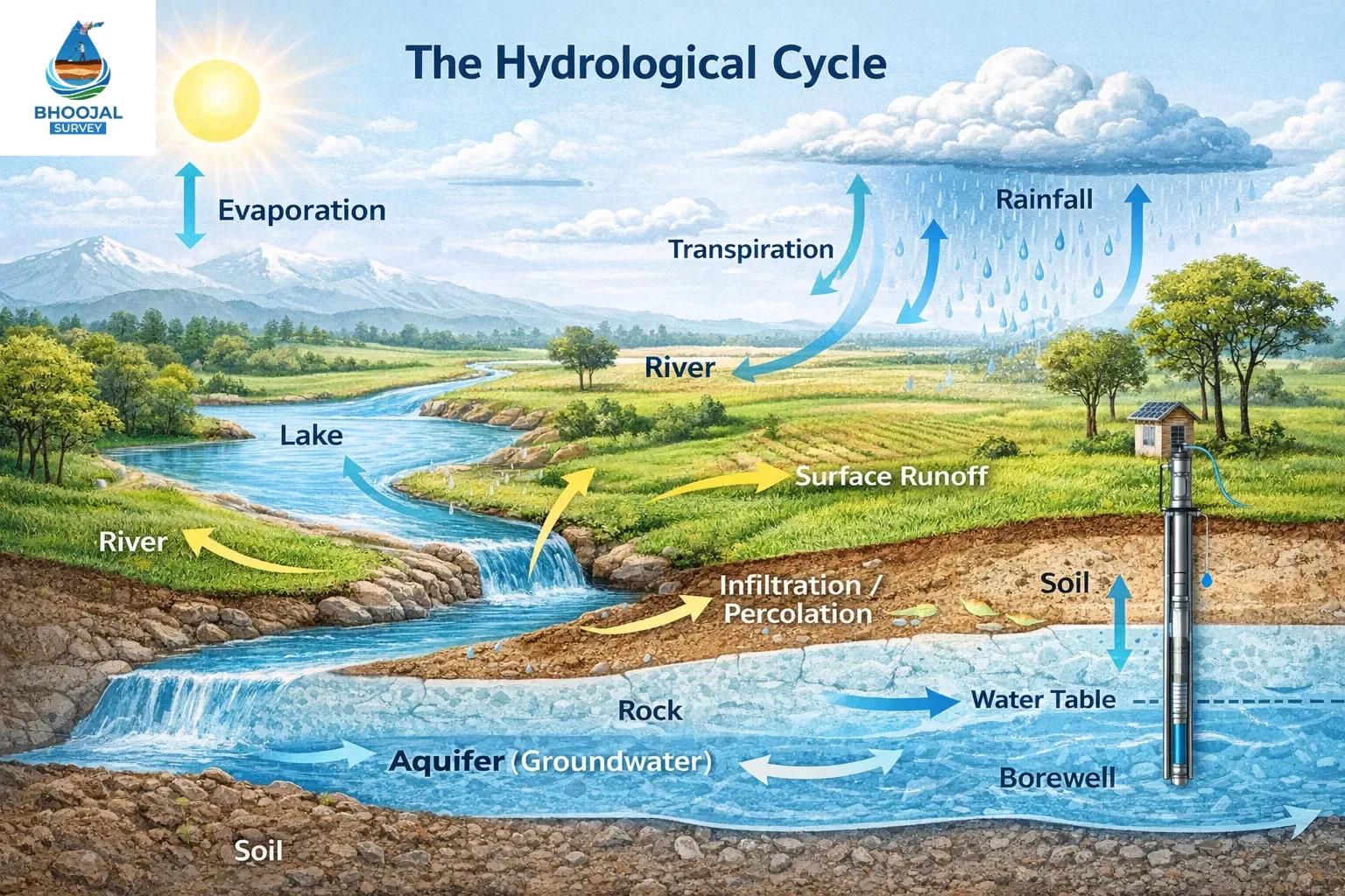
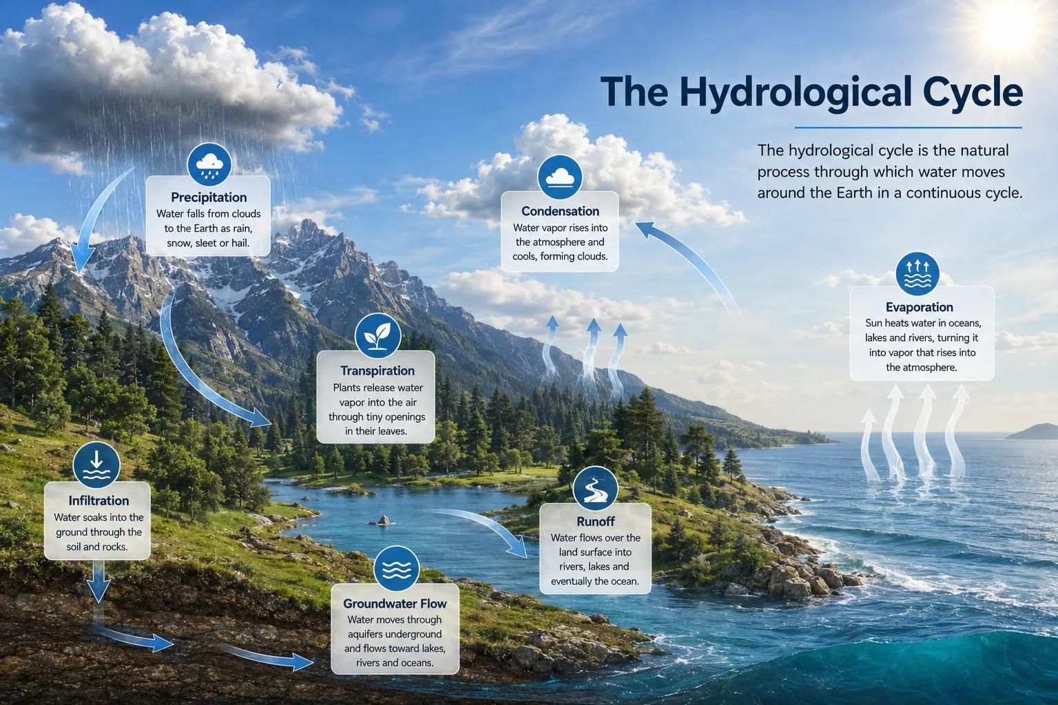
Interactive Models: Visualizing the Water Cycle Through Hydrological Surveys
- Nikhil Jagetiya
- 03 June, 2025
Understanding the water cycle is fundamental to hydrology, environmental science, and effective water resource management....

Hydrological Surveys and Agriculture: Ensuring Efficient Irrigation
- Nikhil Jagetiya
- 05 June, 2025
Hydrological surveys play a pivotal role in understanding water availability, soil characteristics, and the interaction between surface and groundwater
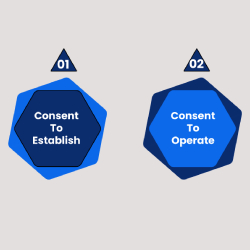
Consent to Establish (CTE) & Consent to Operate (CTO) Services in Indore
- Nikhil Jagetiya
- 12 Aug, 2025
Consent to Establish and consent to operate from MPPCB consultancy services...

The Basics of Hydrological Surveys: Methods and Applications
- Nikhil Jagetiya
- 09 June, 2025
Water is one of our most precious resources. To use it wisely, we need to understand where it comes from, how much we have, and how it moves through the environment.
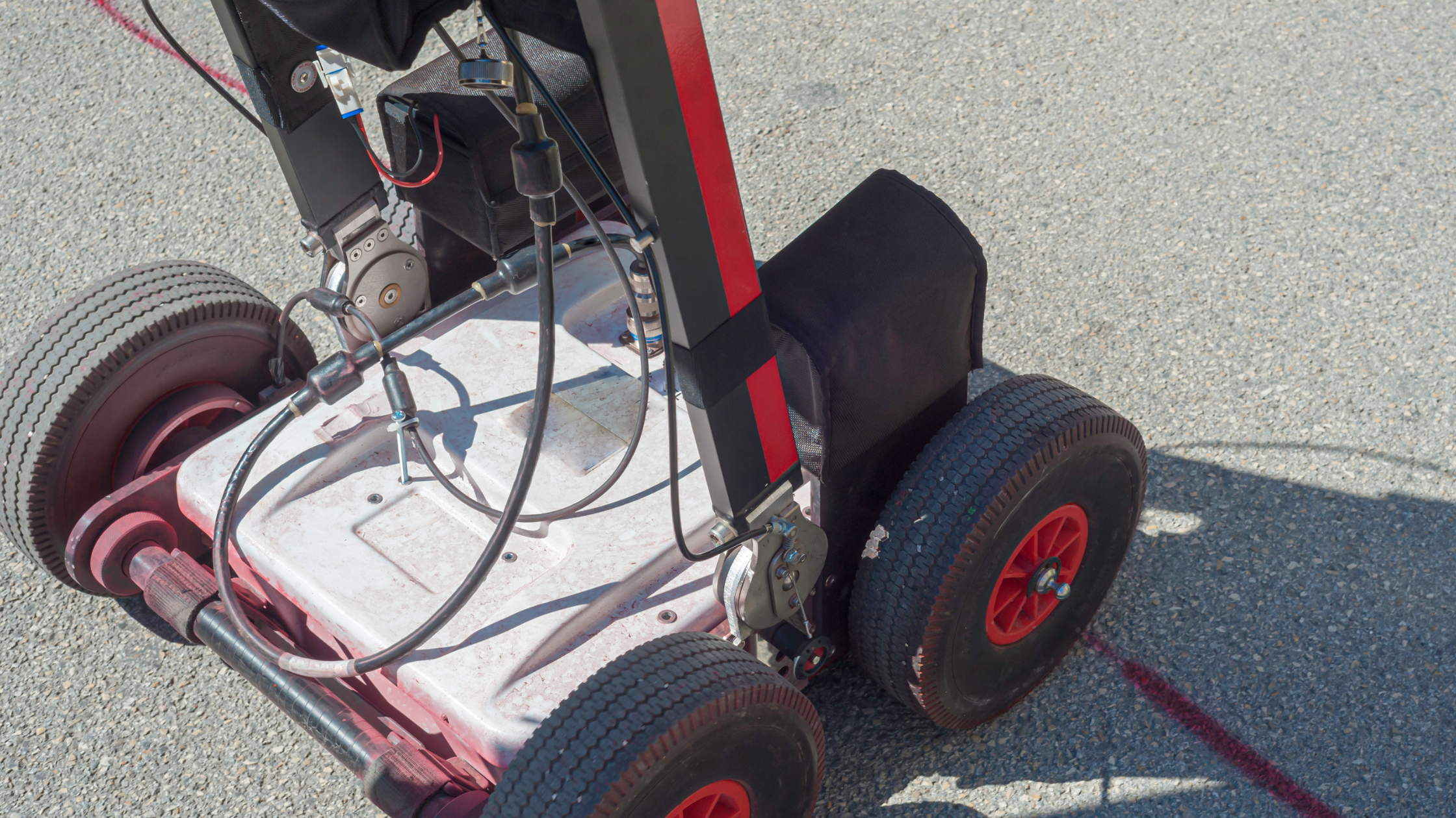
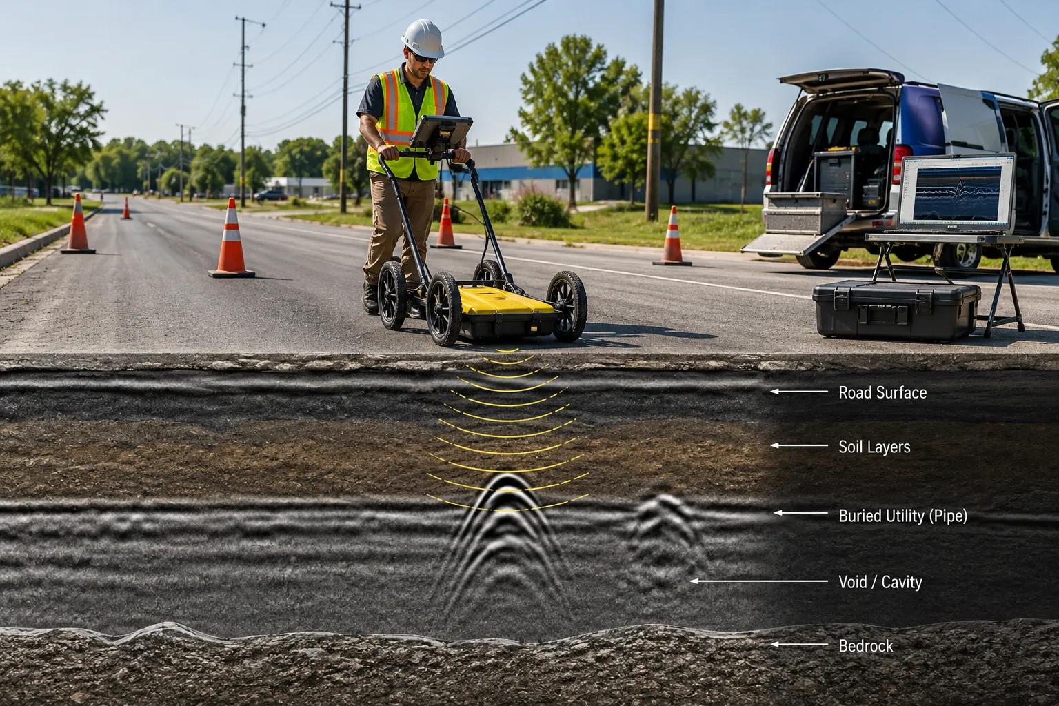
The Ground Penetrating Radar Survey(GPR)
- Nikhil Jagetiya
- 05 dec, 2025
A high-frequency signal is transmitted into the ground, and when the signal reflects back from underground surfaces, the system converts it into subsurface imaging.

Fire NOC & Fire Safety Compliance Services
- Nikhil Jagetiya
- 12 Dec, 2025
Fire NOC is a mandatory fire safety clearance issued by the Fire Department ensuring compliance with NBC fire norms for industrial, commercial, and residential buildings.
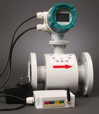
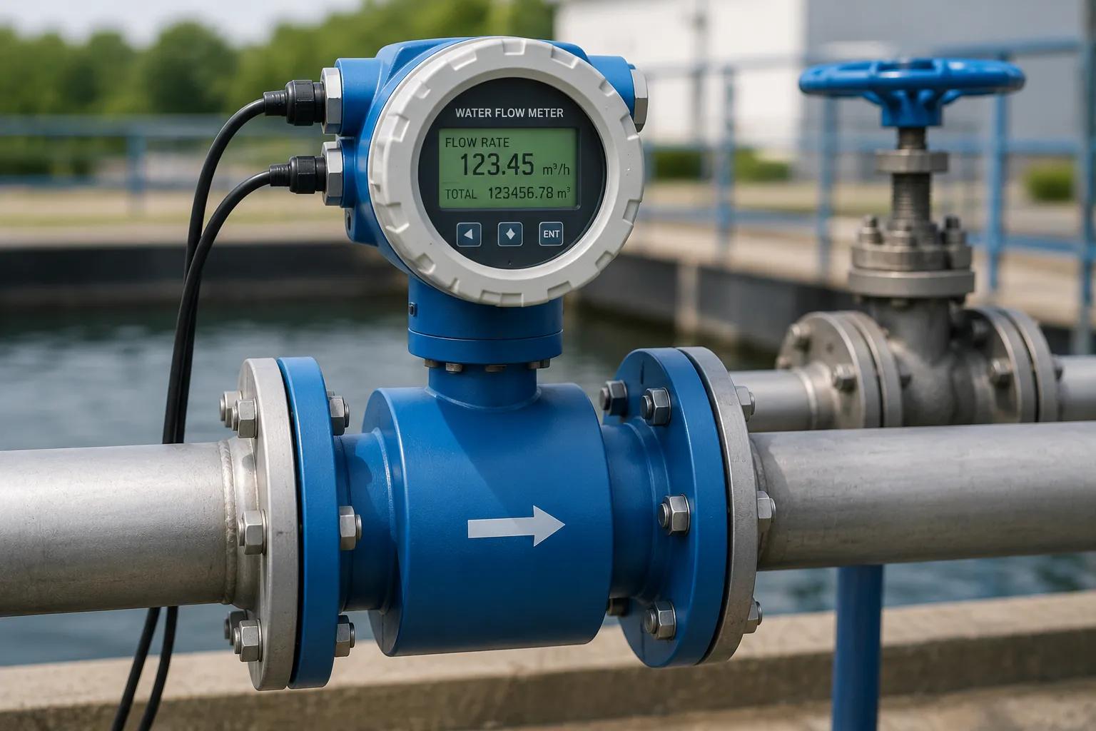
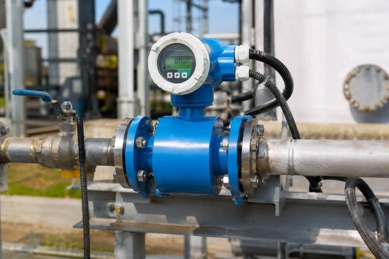
Digital Water Flow Meter Solutions
- Nikhil Jagetiya
- 17 dec, 2025
Water flow meters accurately measure the volume and rate of water flowing through pipelines, enabling efficient monitoring, control, and regulatory compliance.