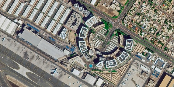
Satellite surveys have emerged as a game-changing technology in the realm of land and resource management. Leveraging advanced remote sensing technologies, satellite surveys provide precise and detailed information about Earth's surface, making them invaluable for a wide range of applications. At Bhoojal Survey, we harness this cutting-edge technology to support sustainable development and informed decision-making.
Applications of Satellite Survey
- Land Records Management: Satellite surveys offer an accurate and efficient way to map land boundaries, aiding in the creation and maintenance of land records. This is particularly valuable in densely populated regions like India and states like Kerala, where land disputes are common.
- Agricultural Planning: By analyzing satellite images, farmers and policymakers can monitor crop health, predict yields, and manage water resources effectively.
- Urban Planning: Cities can utilize satellite data for infrastructure development, zoning, and monitoring urban sprawl.
- Environmental Monitoring: Satellite surveys help in tracking deforestation, pollution, and climate change impacts, providing insights for sustainable environmental management.
- Disaster Management: From flood modeling to earthquake damage assessments, satellite data plays a pivotal role in disaster preparedness and response.
- Water Resource Management: Satellite surveys assist in identifying potential groundwater sources and monitoring surface water bodies, aligning with Bhoojal Survey's mission to ensure sustainable water management.
How Bhoojal Survey Utilizes Satellite Survey Technology
At Bhoojal Survey, we integrate satellite surveys with our expertise in groundwater management, hydrogeological studies, and environmental assessments. Our services include:
- High-resolution mapping of land and water resources.
- Customized analysis for agricultural, industrial, and urban planning.
- Collaboration with government and private entities for sustainable resource utilization.
Benefits of Satellite Survey
- Accuracy: Provides detailed and reliable data.
- Efficiency: Covers large areas in a short time frame.
- Cost-Effectiveness: Reduces the need for extensive ground-based surveys.
- Versatility: Applicable to various industries and sectors.
- Real-Time Monitoring: Enables continuous observation and timely decision-making.
FAQs
- 1. What is a satellite survey? A satellite survey involves using satellite-based remote sensing technologies to collect and analyze data about the Earth's surface. It is widely used for mapping, monitoring, and resource management.
- 2. How accurate is a satellite survey for land records? Satellite surveys are highly accurate, often providing data with sub-meter resolution. This accuracy makes them suitable for land records management and dispute resolution.
- 3. Can satellite surveys identify groundwater sources? Yes, satellite surveys can assist in identifying potential groundwater recharge zones and monitoring surface water bodies.
- 4. How much does a satellite survey cost? The cost of a satellite survey depends on the area covered, resolution required, and specific analysis needs. At Bhoojal Survey, we provide customized solutions to meet your budget and objectives.
- 5. Is satellite survey data real-time? While some satellite data can be near real-time, the processing and analysis may take additional time depending on the complexity of the task.
- 6. What are the applications of satellite surveys in Kerala? In Kerala, satellite surveys are extensively used for land management, flood modeling, agricultural planning, and environmental monitoring.
For more information about our satellite survey services and how they can benefit your project, contact Bhoojal Survey today!