The Role of Satellite Survey Maps in Urban and Rural Development
Get Free Expert Assistance
Introduction
Satellite survey maps have become indispensable tools in modern urban and rural development. Leveraging advanced remote sensing technology, satellite mapping provides accurate, high-resolution data critical for infrastructure planning, resource management, and environmental conservation. In the context of India’s rapid urbanization and evolving rural landscape, satellite surveys play a pivotal role in addressing developmental challenges and enabling data-driven decision-making. This comprehensive blog delves into the significance, applications, and transformative potential of satellite survey maps in urban and rural development.
Understanding Satellite Survey Maps
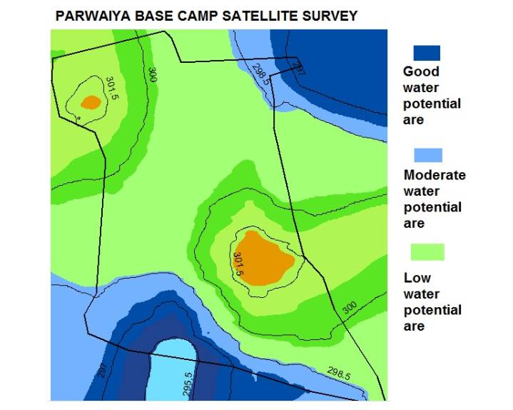
Satellite survey maps are generated using data captured by satellites orbiting Earth. These maps use remote sensing technology to provide detailed imagery of the planet’s surface. The data includes land use patterns, terrain features, vegetation, water bodies, and urban structures.
Key Features of Satellite Survey Maps:
- 1. High Accuracy: Satellite surveys can offer sub-meter resolution, ensuring precision in mapping.
- 2. Wide Coverage: They cover vast areas, making them ideal for large-scale projects.
- 3. Real-Time Data: Frequent satellite passes provide updated information for dynamic planning.
- 4. Multi-Spectral Analysis: Enables identification of various land and vegetation types.
Importance of Satellite Surveys in Urban Development
Urban areas in India are growing rapidly, with increasing demand for housing, infrastructure, and services. Satellite survey maps facilitate smart urban planning and resource allocation.
Applications in Urban Development:
- 1. Urban Sprawl Monitoring: Tracks city expansion to manage uncontrolled growth.
- 2. Infrastructure Development: Assists in planning roads, bridges, railways, and public utilities.
- 3. Land Use Zoning: Helps designate areas for residential, commercial, and industrial purposes.
- 4. Disaster Preparedness: Enables flood modeling and monitoring of seismic risks.
- 5. Real Estate Development: Provides accurate mapping for construction and property assessment.
- 6. Traffic Management: Satellite maps support the development of efficient transportation systems.
Case Study: Satellite Surveys in Smart City Projects
India’s Smart Cities Mission relies heavily on satellite mapping for sustainable city planning. Geospatial data is used to design efficient water supply systems, waste management, and green spaces.
The Role of Satellite Maps in Rural Development
In rural areas, where resources and data are often scarce, satellite survey maps bridge the gap by providing actionable insights for sustainable development.
Applications in Rural Development:
- 1. Agricultural Planning: Helps monitor crop health, soil moisture, and irrigation needs.
- 2. Water Resource Management: Identifies potential groundwater recharge zones and monitors surface water levels.
- 3. Rural Infrastructure Development: Guides the construction of roads, schools, and healthcare facilities.
- 4. Environmental Conservation: Tracks deforestation, soil erosion, and biodiversity loss.
- 5. Land Records Management: Resolves land disputes by providing accurate boundary mapping.
Case Study: Satellite Mapping for Agriculture in Kerala
Satelite data is used by farmers in Kerala to optimize crop yields, manage water resources, and plan harvests effectively.
The Technologies Behind Satellite Survey Maps
The creation of satellite survey maps is powered by advanced technologies including:
- 1. Remote Sensing: Captures data across various spectral bands to analyze land features.
- 2. GIS (Geographic Information System): Integrates and visualizes spatial data for better decision-making.
- 3. LiDAR (Light Detection and Ranging): Provides high-resolution topographical mapping.
- 4. Drones: Complements satellite data for detailed surveys.
- 5. AI and Machine Learning:Automates data analysis for identifying patterns and trends.
The Challenges in Satellite Survey Implementation
While satellite surveys offer immense potential, challenges remain:- 1. High Costs: Procuring high-resolution data can be expensive.
- 2. Data Accuracy: Cloud cover may affect imagery quality.
- 3. Limited Accessibility: Not all stakeholders have access to advanced tools.
- 4. Technical Expertise: Requires trained professionals to interpret data effectively.
The Future of Satellite Survey Maps
Satellite survey maps are indispensable tools for modern development offering unmatched accuracy. At Bhoojal Survey we leverage this technology to provide tailored solutions. Whether for infrastructure projects or environmental conservation we empower stakeholders to make informed decisions. Bhoojal Survey is a leading consultancy specializing in groundwater surveys hydrogeological studies and environmental assessments. We ensure sustainable water resource management leveraging technologies like satellite surveys GIS mapping. Bhoojal Survey integrates technology into our workflow enhancing precision efficiency helping clients tackle challenges while promoting sustainability. We use satellite survey maps to monitor sprawl plan infrastructure optimize zoning. Our flood modeling helps mitigate risks associated with climate change. Through mapping hydrogeological studies we assist communities identifying resources improving planning collaborating with local governments designing rainwater systems promoting sustainable management. Combining technology expertise Bhoojal empowers planners farmers policymakers developers achieve objectives while ensuring long-term sustainability. Bhoojal's integration of satellite survey maps enhances capabilities applications enabling stakeholders make informed decisions aligning with sustainable growth. Contact us today to explore how Bhoojal Survey can support your project through advanced services including satellite technology.
The Benefits of Satellite Survey Maps in Development
FAQs
Conclusion
About Bhoojal Survey
Core Services Include
Bhoojal Survey's Approach to Urban Development
Bhoojal's Role in Rural Development
Why Choose Bhoojal Survey?
Enhancing Applications with Bhoojal Survey