Introduction
Detecting underground water for borewell drilling is a critical step in ensuring the success and sustainability of borewell projects. With water scarcity becoming a pressing issue globally, efficient and accurate detection of groundwater reserves is paramount. This comprehensive guide will delve into the methodologies and technologies involved in underground water detection, aiming to provide a detailed overview for individuals, farmers, and businesses considering borewell installation.
Understanding Groundwater Exploration
Groundwater exploration is the process of locating water beneath the Earth's surface, primarily for the purpose of extracting it through borewells. This exploration is crucial for agricultural irrigation, drinking water supplies, and industrial uses. The process involves several scientific methods and technologies to accurately locate and assess underground water reserves.
A secondary electromagnetic field (in a direction opposite to the primary at the conductor) is produced by the eddy currents and the resultant field is measured by a receiver, placed at a given distance, in the form of in-phase and quadrature components [see Fig. 4A]. The receiver also measures the primary field.
The Role of Ground Water Surveyors
Detecting underground water involves a combination of traditional knowledge and modern scientific methods. Here’s an insight into the most effective techniques:
Geophysical Survey
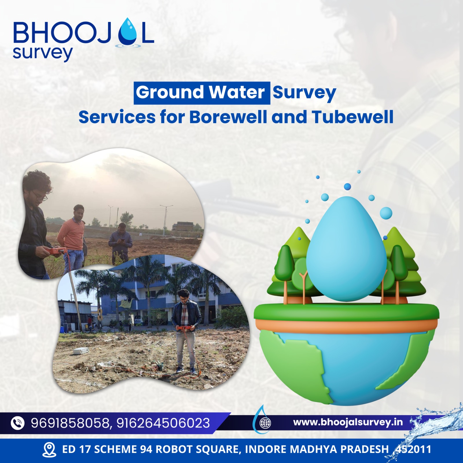
A geophysical survey is one of the most common and reliable methods for detecting underground water. This technique utilises electromagnetic, electrical, and seismic technologies to map underground formations and identify water-bearing strata.
- Electromagnetic Surveys: These involve measuring the ground's electromagnetic properties to identify variations that indicate the presence of water.
- Electrical Resistivity Surveys: By measuring the resistance of the ground to electrical flow, surveyors can identify areas with high moisture content, indicative of groundwater.
- Seismic Surveys: These detect the speed at which seismic waves travel through underground layers, helping to identify water-bearing formations.
Water Dowsing
Water dowsing, although considered a traditional and less scientific method, involves using a dowsing rod to locate water sources. Despite scepticism from the scientific community, some individuals and communities report success with this technique.

Hydrological Studies
Hydrological studies involve the analysis of the area’s water cycle, including precipitation, evaporation, and water flow patterns. These studies can provide valuable insights into potential groundwater recharge zones.
Satellite Imagery
Advancements in satellite technology have made it possible to use remote sensing data to identify underground water. Satellite imagery can reveal geological structures that suggest the presence of groundwater.
The Process of Ground Water Exploration
- 1.Initial Consultation: Engage with ground water surveyors to discuss your requirements and the scope of the survey.
- 2.Site Inspection: A preliminary site inspection is conducted to gather basic geological and hydrological data.
- 3.Selection of Methodology: Based on the initial findings, the most suitable groundwater detection method(s) is selected.
- 4.Data Collection and Analysis: The chosen survey method is implemented, and the collected data is analysed to identify potential groundwater sources.
- 5.Report and Recommendations: A detailed report is provided, outlining the survey findings and recommendations for borewell drilling.
Detecting underground water for borewell is a complex process that requires expertise and the right methodologies. With the growing demand for water and the challenges of water scarcity, accurate groundwater exploration has never been more critical. By employing a combination of geophysical surveys, hydrological studies, and even satellite imagery, individuals and businesses can significantly increase their chances of locating sustainable water sources for borewell extraction.
How Bhoojal Survey & Recharging Can Help with Ground Water Consultants Services in India?
Bhoojal Survey & Recharging offers comprehensive ground water consulting services across India, leveraging the latest technologies and methodologies for accurate groundwater detection. Our team of experienced ground water surveyors and consultants specialise in geophysical surveys, hydrological studies, and the interpretation of satellite imagery to identify viable groundwater sources for borewell installation. With our expertise, you can ensure the sustainable extraction of groundwater, meeting your water needs while conserving this precious resource for future generations.
Conclusion
How do I find ground water for Borewell?
Engage ground water surveyors who use methods like geophysical surveys and hydrological studies to locate water.
How do you detect the presence of underground water?
Techniques like electrical resistivity surveys, seismic surveys, and analysis of satellite imagery are used to detect underground water.
How do you find underground water for a borehole?
Conduct a geophysical survey or hydrological analysis to identify potential water-bearing formations suitable for borehole drilling.
How do I know if my Borewell has water?
Monitor the water level and yield during drilling; use water detection equipment and techniques to assess the borewell's water presence.
How accurate are geophysical surveys for water detection?
Geophysical surveys are highly accurate when conducted by experienced ground water surveyors, offering a reliable means of detecting underground water.
How do I find ground water for Borewell?
Engage ground water surveyors who use methods like geophysical surveys and hydrological studies to locate water.
Can satellite imagery really detect underground water?
Yes, satellite imagery can reveal geological formations and patterns indicative of groundwater presence, although ground verification is necessary for accuracy.
How do I find ground water for Borewell?
Engage ground water surveyors who use methods like geophysical surveys and hydrological studies to locate water.
How long does a ground water exploration process take?
The duration varies depending on the size of the area and the methods used but can range from a few days to several weeks.
How to find underground water?
Utilise geophysical surveys, consult groundwater surveyors, and analyse geological data to locate underground water sources.
How to search underground water?
Conduct hydrological studies, use dowsing techniques, or employ electrical resistivity methods to identify water beneath the surface.
How to detect groundwater?
Apply methods like seismic surveys, electromagnetic surveys, and satellite imagery analysis to detect the presence of groundwater.
How to know ground water level for borewell?
Measure water levels through drilling observation, use geophysical tools, or consult historical data and surveys for accurate estimations.
To download as a pdf Click Here

