

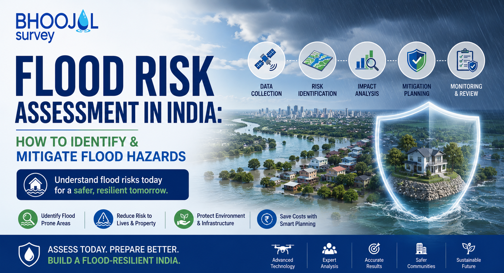
India is among the most flood-prone countries in the world. The Brahmaputra, Ganga, Mahanadi, Krishna, and Godavari river systems affect millions of hectares of agricultural and urban land every monsoon season.
Flash floods in Himalayan catchments destroy infrastructure within hours. Coastal flooding from cyclones and storm surges regularly displaces entire communities across Odisha, Andhra Pradesh, and Tamil Nadu.
At the centre of every credible flood preparedness and infrastructure planning response is flood risk assessment — the technical process of measuring the probability, spatial extent, depth, velocity, and impact of flood events at a defined location.
Without this, infrastructure is designed to inadequate standards, urban development encroaches on floodplains, and disaster response plans lack the spatial intelligence to be effective.
What is Flood Risk Assessment and Why India Needs It Urgently
Flood risk assessment is the systematic analysis of the likelihood and consequences of flooding at a specific site or within a defined area. It combines hydrological analysis - how much water a catchment generates during rainfall events of different magnitudes - with hydraulic analysis of how that water moves through river channels, floodplains, and drainage systems, and with consequence assessment of what is exposed to inundation.
The distinction between flood hazard and flood risk is technically important. Flood Hazard Mapping defines where flooding occurs and at what depth and velocity — the physical phenomenon.
Flood risk assessment adds the exposure layer: what infrastructure, population, and economic assets lie within the hazard zone and what damage results under different flood scenarios.
A floodplain with no development represents high hazard but low risk. A densely built urban area on the same floodplain represents both high hazard and high risk.
India's flood losses underscore the urgency. The National Disaster Management Authority estimates average annual flood damage at over ₹1,800 crore, with catastrophic years — 2013 Uttarakhand, 2015 Chennai, 2018 Kerala, 2023 Himachal Pradesh - generating losses an order of magnitude higher.
The absence of rigorous flood risk assessment in infrastructure planning and urban expansion is a direct contributor to this recurring economic destruction.
How Flood Risk Assessment Is Conducted: Step-by-Step Process
A comprehensive flood risk assessment progresses through defined technical stages, each building on the previous to construct a complete picture of flood behaviour and consequence at the study site.
Data Collection and Desk Study is the starting point. Rainfall records from India Meteorological Department (IMD) stations, river discharge data from Central Water Commission (CWC) gauging networks, satellite-derived Digital Elevation Models from ISRO, land use maps, and soil classification data are compiled and reviewed.
The length and quality of historical hydrological records directly determines the reliability of the flood frequency analysis that follows.
Hydrological Modelling converts this data into design flood estimates. Rainfall-runoff models — typically HEC-HMS or SWAT — transform design rainfall events of defined return periods (10-year, 25-year, 50-year, 100-year, 200-year floods) into peak discharge estimates at the study location.
Flood frequency analysis on historical gauge records provides an independent cross-check of these design values.
Hydraulic Modelling is where design discharges are translated into spatial maps of inundation extent, water depth, and flow velocity. One-dimensional models represent flow through the river channel.
Two-dimensional hydraulic modelling — now standard for floodplain and urban drainage studies — simulates the complex behaviour of water spreading across terrain, interacting with roads, embankments, and buildings.
HEC-RAS Flood Simulation is the globally dominant platform for this work, producing the water surface profiles and inundation extents that populate Flood Hazard Maps.
Consequence Assessment is the final stage. Flood inundation maps are overlaid with exposure data - population distribution, land use, infrastructure inventory, property values, and agricultural area - to produce a spatial quantification of damage under each design flood scenario.
This is the complete flood risk picture that informs engineering design, land use zoning, insurance pricing, and emergency response planning.
Flood Hazard Mapping: Identifying and Classifying Risk Zones
Flood Hazard Mapping is the spatial output of hydraulic modelling, translated into maps that delineate flood inundation extents for different return period events. A standard Flood Hazard Map shows flood zones for low, medium, and high probability scenarios overlaid on topographic and land use base maps.
In India, Flood Hazard Maps are produced at national scale by NRSC/ISRO using satellite-derived inundation data, at state level by State Flood Control Departments using hydrological and hydraulic modelling, and at project level by engineering consultants for specific infrastructure planning and environmental impact assessment purposes.
Project-level Flood Hazard Mapping uses higher-resolution terrain data, site-specific hydrological analysis, and calibrated hydraulic models to produce maps accurate enough to drive engineering decisions - bridge deck levels, embankment crest elevations, building plinth levels, and floodplain development boundaries.
These are fundamentally more precise and actionable than regional-scale national maps for individual project applications.
Key Technology and Tools Used in Modern Flood Risk Assessment
Modern flood risk assessment integrates field measurement technology, computational modelling software, and geospatial platforms across a technically demanding workflow.
HEC-HMS handles rainfall-runoff modelling — catchment delineation, loss estimation, flow routing, and design storm application across basins of any scale.
HEC-RAS Flood Simulation is the standard hydraulic modelling platform for one-dimensional and two-dimensional river and floodplain analysis. Two-dimensional HEC-RAS modelling, now routine for urban and complex floodplain hydraulics, captures flow dynamics that one-dimensional models cannot represent.
LiDAR-derived Digital Elevation Models provide the terrain resolution on which hydraulic model accuracy depends. Where LiDAR is unavailable, drone-based topographic surveys generate DEMs at centimetre-level vertical accuracy — sufficient for site-level hydraulic modelling.
Bathymetric Survey measures river channel cross-sections — bed levels, widths, and bankfull capacities — that are essential calibration inputs to any hydraulic model.
GIS platforms integrate hydrological, hydraulic, and consequence data into the final spatial products of a flood risk assessment.
Who Needs Flood Risk Assessment and Which Laws Make It Mandatory
Flood risk assessment is required across a broad range of project types and regulatory processes in India.
Infrastructure projects — highways, railways, bridges, dams, barrages — require flood frequency analysis and hydraulic design as specified by Indian Roads Congress (IRC) standards and CWC guidelines.
The EIA Notification 2006 requires baseline hydrological and hydraulic assessment for Category A and B projects near rivers, wetlands, or flood-prone areas.
Urban development master plans under Smart Cities Mission increasingly incorporate floodplain mapping as a prerequisite for layout approvals in flood-prone municipalities.
NDMA's guidelines on urban flood risk management explicitly require Flood Hazard Mapping and flood risk assessment as inputs to district and city-level disaster management plans. State Flood Control Departments and State Disaster Management Authorities set additional requirements for projects in notified flood-prone districts.
Government Standards and Compliance for Flood Risk Assessment
Flood risk assessment in India operates within a structured multi-agency regulatory framework.
CWC guidelines specify hydrological design standards for dams, barrages, and flood embankments, including the Probable Maximum Flood (PMF) methodology for high-hazard structures. Bureau of Indian Standards codes — IS 5477 for reservoir capacity fixation and IS 11223 for spillway design — set technical benchmarks for hydraulic engineering.
NDMA's National Guidelines on Flood Risk Management provide the policy framework for flood risk assessment at district and urban levels.
Environmental clearances for river-adjacent projects increasingly require hydraulic impact assessment demonstrating that the proposed project does not materially alter flood behaviour upstream or downstream — an obligation that demands site-specific hydraulic modelling to discharge correctly.
Major Technical Challenges in Flood Risk Assessment Projects
Data scarcity is the most persistent constraint. CWC gauging networks are unevenly distributed — major rivers are reasonably covered, but most tributary systems have short or absent discharge records.
Short data records increase uncertainty in flood frequency estimates, particularly at the high return periods — 100-year, 200-year events — that govern infrastructure design.
In ungauged catchments, regional flood frequency relationships and rainfall-runoff modelling must substitute for gauge data, introducing uncertainty that must be quantified and communicated clearly in assessment reports.
Terrain data quality is a second major challenge. SRTM data, widely used for regional flood mapping, has vertical accuracy of 5 to 10 metres — wholly inadequate for detailed urban hydraulic modelling where ground level differences of 0.5 metres determine inundation extent.
Rapidly changing land use in peri-urban catchments means historical runoff records become increasingly unrepresentative of current conditions, requiring updated model calibration to maintain accuracy.
Choosing the Right Flood Risk Assessment Firm for Your Project
Selecting a consultant for flood risk assessment requires verification of specific technical capabilities that go beyond software familiarity.
The firm must demonstrate genuine hydraulic modelling competency — not merely the ability to run HEC-RAS, but the hydrological and engineering judgement to set up, calibrate, and interpret models correctly for the site and regulatory context.
In-house field survey capability — Bathymetric Survey, drone terrain mapping, stream gauging — is essential because model accuracy is entirely dependent on input data quality.
Experience with Indian regulatory frameworks matters as much as technical skill. Reports prepared for EIA submissions, CWC design review, or NDMA compliance must meet specific technical expectations that come from direct experience with Indian hydrology, regional data sources, and appraisal committee standards.
PAN India experience across diverse river regimes — Himalayan snowmelt systems, monsoon-driven peninsular basins, arid ephemeral streams — reflects the contextual judgement that generic software competency cannot substitute for.
Bhoojal Survey delivers comprehensive flood risk assessment services, integrating hydrological survey, HEC-RAS flood simulation, two-dimensional hydraulic modelling, Flood Hazard Mapping, Bathymetric Survey, and consequence assessment within a single coordinated engagement.
The firm's team of experienced hydrologists and hydraulic engineers has delivered flood studies for infrastructure projects, EIA submissions, and urban flood management plans across multiple Indian states.
Why Choose Bhoojal Survey & Consultant for Flood Risk Studies
Bhoojal Survey combines in-house field survey capability with advanced hydraulic modelling expertise to deliver flood risk assessment that is technically rigorous and compliant with CWC, EIA, and NDMA standards.
Every study integrates hydrological frequency analysis, calibrated HEC-RAS modelling, and GIS-based Flood Hazard Mapping into a single coherent technical report.
With experience across India's diverse hydrological and geomorphological settings, Bhoojal Survey provides flood studies that withstand scrutiny from regulatory appraisal committees and engineering peer reviewers.
Conclusion
Flood risk assessment is the technical foundation of flood-resilient infrastructure, defensible environmental clearances, and effective urban flood management across India.
As climate variability intensifies flood frequency and severity, the demand for rigorous flood hazard mapping, hydraulic modelling, and flood risk assessment will only increase — from regulators, project financiers, and communities exposed to recurring flood damage.
For professional flood risk assessment, HEC-RAS flood simulation, Flood Hazard Mapping, Bathymetric Survey, and hydrological consultancy services across India, contact Bhoojal Survey & Consultant.
FAQ
Q1. What is the difference between flood hazard and flood risk?
Flood hazard identifies where flooding occurs and its characteristics such as depth and velocity. Flood risk combines the hazard with exposure and vulnerability to estimate potential impacts on people, infrastructure, and property.
Q2. Which software is commonly used for flood modelling?
HEC-HMS is used for rainfall-runoff analysis, while HEC-RAS is used for one-dimensional (1D) and two-dimensional (2D) hydraulic modelling of rivers and floodplains. These are the most widely accepted tools for flood studies.
Q3. Is flood risk assessment mandatory for infrastructure projects?
Yes. Many infrastructure projects near rivers and flood-prone areas require flood risk assessment to meet CWC, EIA, and other regulatory requirements before approval.
Q4. How accurate is flood modelling?
The accuracy of flood modelling depends on the quality of input data, terrain information, hydrological records, and model calibration. With reliable data and proper validation, flood models provide dependable results for engineering and planning.
Q5. Why is flood hazard mapping important?
Flood hazard mapping helps identify flood-prone areas, supports disaster management, improves infrastructure planning, and enables authorities to reduce flood risks through informed decision-making.