
Groundwater Survey: Scientific Solutions for Accurate Borewell Location
Introduction
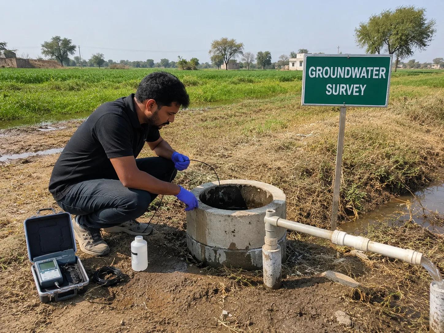
A groundwater survey is a scientific investigation used to locate underground water sources before drilling a borewell or open well. It combines geological mapping, geophysical testing, and hydrogeological analysis to identify aquifer depth, water quality, and groundwater potential.
For farmers, industrial developers, infrastructure companies, and government agencies, a groundwater survey is essential before any drilling investment. It reduces guesswork, prevents dry borewells, and supports sustainable water resource planning.
A properly conducted groundwater investigation improves drilling success rates, lowers costs, and ensures long-term water security for agricultural, industrial, and infrastructure projects across India.
What is Groundwater Survey?
A groundwater survey is a scientific process that identifies the presence, depth, and quality of underground water at a specific site. Its main objectives include:
1. Locating groundwater potential zones accurately
2. Determining aquifer depth and characteristics
3. Assessing water quality and yield potential
4. Reducing risks of borewell failure
5. Supporting sustainable groundwater resource management
This hydrogeological assessment forms the scientific basis for borewell drilling decisions across agriculture, industry, and infrastructure sectors.
Methods Used in Groundwater Survey
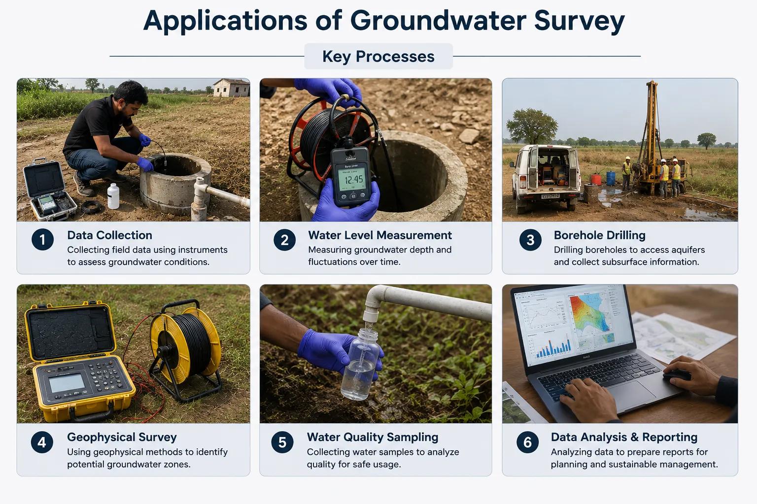
A professional groundwater survey uses a combination of geological and geophysical techniques:
1. Geological mapping – studying rock formations and terrain characteristics
2. Electrical resistivity survey – measuring subsurface resistivity to detect water-bearing layers
3. Hydrogeological investigation – analyzing aquifer type, recharge, and flow patterns
4. GIS and satellite analysis – mapping groundwater potential zones over large areas
5. Aquifer characterization – identifying depth, thickness, and water quality
6. Groundwater potential assessment – evaluating yield and sustainability
At Bhoojal Survey, our teams are experienced in conducting hydrogeological survey using SSRMPATS Instrument, GER DETECT, and PQWT at site for open well / borewell location.
This scientific groundwater investigation and analysis, backed by advanced groundwater and geophysical survey solutions, ensures dependable results for every project.
Benefits of Groundwater Survey
A scientific groundwater survey delivers clear, measurable advantages:
1. Accurate borewell location based on verified geological data
2. Higher groundwater success rate, avoiding dry or low-yield wells
3. Reduced drilling costs by targeting the right depth and location
4. Sustainable groundwater extraction that protects long-term water availability
5. Better water resource planning for large-scale projects
6. Lower project risks through data-driven decision-making
These benefits make groundwater survey services a smart investment rather than an optional expense.
Applications of Groundwater Survey
Groundwater surveys support a wide range of sectors across India:
1. Borewell drilling projects for homes and farms
2. Agricultural irrigation planning
3. Industrial water supply requirements
4. Infrastructure and construction projects
5. Mining operations requiring water access
6. Commercial and real estate developments
7. Government rural water supply schemes
8. Environmental compliance and water resource projects
From individual landowners to large industrial developers, groundwater survey services help ensure reliable, sustainable water access.
Why Choose Bhoojal Survey
Bhoojal Survey brings proven expertise to every groundwater investigation:
1. Experienced hydrogeologists and geophysicists with field-tested knowledge
2. Advanced groundwater survey technologies for accurate results
3. Professional technical reporting suited for project planning and approvals
4. Pan-India consultancy services across diverse geological terrains
4. Accurate groundwater investigations backed by scientific methodology
5. Customized groundwater solutions for agriculture, industry, and infrastructure
6. Deep expertise in borewell location and groundwater resource assessment
Conclusion
A groundwater survey is a critical step before drilling, helping identify reliable water sources while reducing costs and risks. Scientific groundwater investigations empower farmers, industries, and developers to make confident, data-backed drilling decisions.
Bhoojal Survey's experienced team delivers accurate, technology-driven groundwater survey services across India. Contact Bhoojal Survey today for a professional groundwater consultation and secure your water resources with scientific precision.
FAQs
1. What is a groundwater survey?
A groundwater survey is a scientific investigation that identifies the location, depth, and quality of underground water using geological and geophysical methods.
2. Why is a groundwater survey important before drilling a borewell?
It helps avoid dry borewells, reduces drilling costs, and increases the chances of hitting a reliable water source.
3. Which methods are used in a groundwater survey?
Common methods include electrical resistivity survey, geological mapping, hydrogeological investigation, and GIS-based analysis.
4. How accurate is a groundwater survey?
When conducted using advanced instruments and experienced hydrogeologists, groundwater surveys offer high accuracy in identifying viable water sources.
5. How long does a groundwater survey take?
Most groundwater surveys are completed within a day or two, depending on site size and terrain complexity.