GPR Survey & Utility Detection Services
Bhoojal Survey provides advanced Ground Penetrating Radar (GPR) services for detecting underground utilities, soil layers, pipes, voids, cables, and structural anomalies. With AI-enabled high-resolution GPR systems and electromagnetic locators, we deliver precise subsurface insights for construction, infrastructure, road projects, and industrial plants.
About GPR Technology
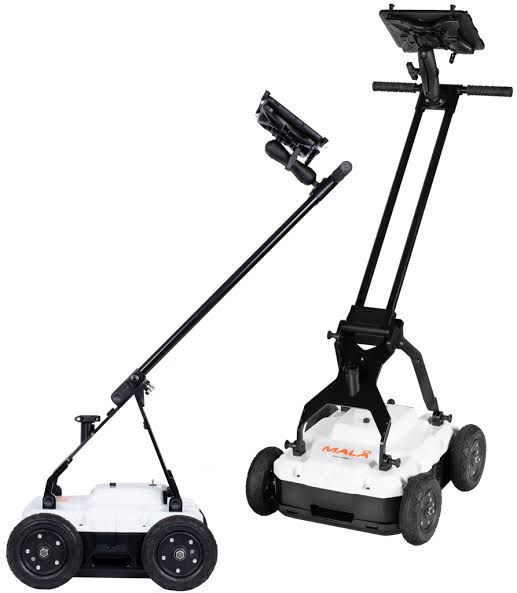
GPR works by sending electromagnetic signals into the ground and recording reflected waves to map subsurface structures. The Mala Easy Locator Core 450HDR used by Bhoojal Survey provides unmatched depth penetration, clarity, and AI-based anomaly detection.
Key Features of Our GPR System
- High Dynamic Range (HDR) Radar for ultra-clear imaging
- Integrated RTK GNSS for centimeter-level accuracy
- AI-powered noise reduction and automatic target marking
- Ideal for utility detection, road assessment, soil profiling, and infrastructure audits
How GPR Works
GPR transmits high-frequency EM waves into the ground. When these waves hit objects or material boundaries, they reflect back and are processed into radargrams. Using HDR and AI enhancements, Bhoojal Survey generates highly accurate subsurface maps.
Why GPR Survey is Essential Before Construction
- Prevents accidental cable & pipeline damage
- Improves planning and construction safety
- Reduces rework and ensures budget accuracy
- Supports compliance with engineering standards
- Identifies voids, weak soil zones, and buried structures
Bhoojal Survey’s GPR Work for Road Construction Project
Our team completed a detailed GPR survey for a major road construction project. The objective was to map underground utilities and identify soil weaknesses before excavation.
Scope of Work
- Utility detection: water pipelines, telecom ducts, electrical cables
- Identification of weak soil layers and cavities
- Geo-referenced GPR mapping for engineering design
Execution
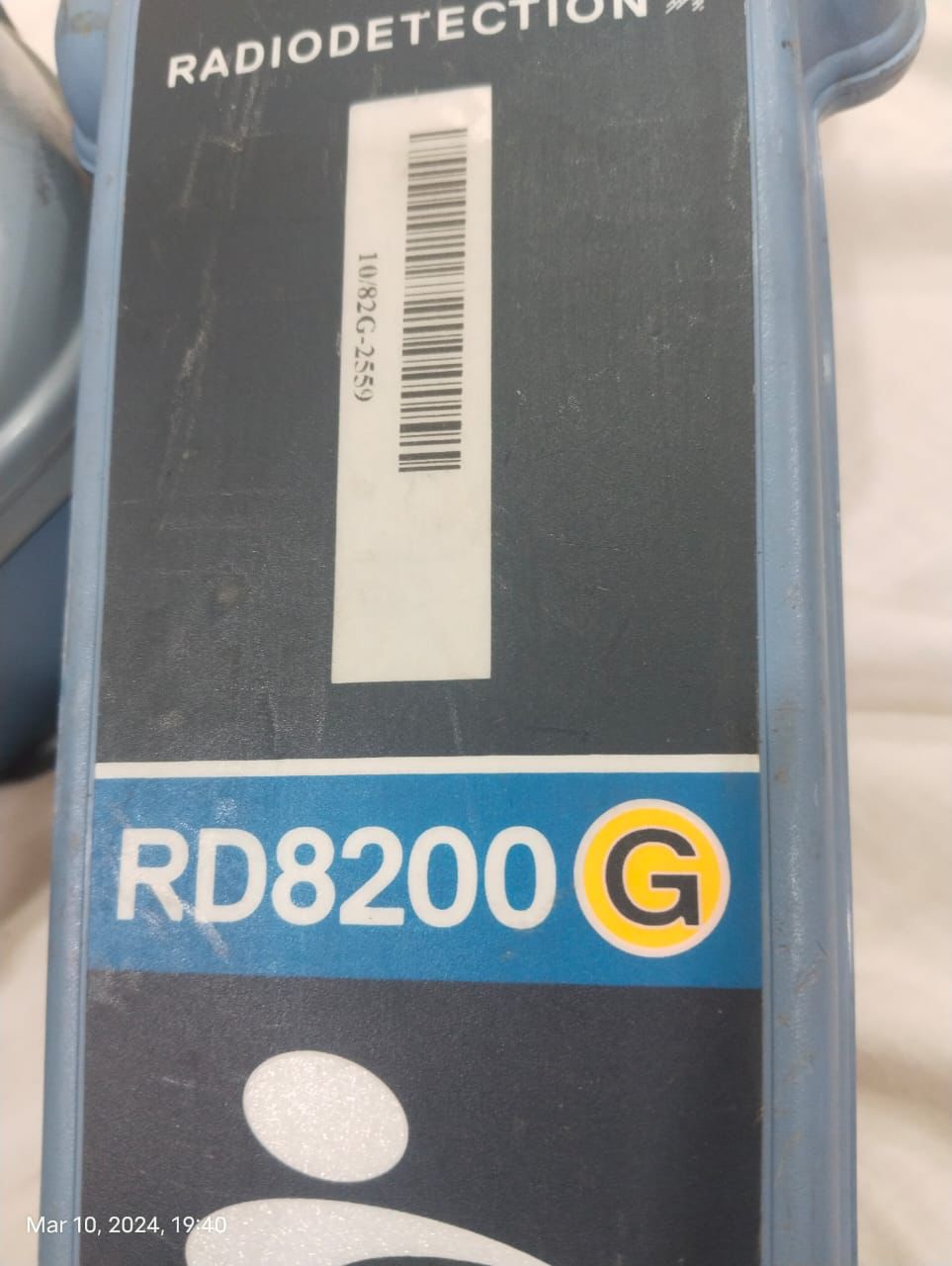
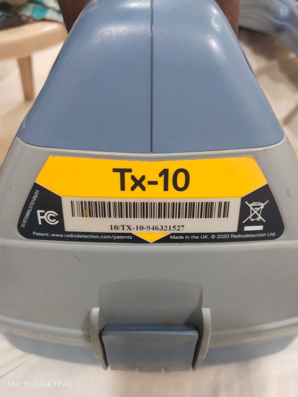
Using the Mala Core 450HDR with RTK GNSS, we scanned the entire road alignment. The RD8200(G) was used to cross-verify metallic utilities. All radargrams were mapped in GIS/CAD formats.
Results
- Accurate detection of undocumented utilities
- Identification of shallow cable risks
- Subsurface data enabled safer excavation
- Engineering team optimized road design based on findings
Applications of GPR Survey
- Road Construction & Pavement Analysis
- Pre-excavation Utility Mapping
- Industrial Plant Surveys
- Groundwater Pathway Assessment
- Structural Health Assessment
- Archaeological Investigations
Frequently Asked Questions (FAQ)
What is the depth range of your GPR system?
Our Mala Core GPR typically detects utilities between 0.5m to 6m, depending on soil conditions.
Can GPR detect non-metallic utilities?
Yes. GPR detects PVC, HDPE, fiber cables, and other non-metallic objects that EM locators cannot identify.
Do you provide CAD/GIS maps?
Yes, all survey outputs are delivered in GIS, CAD, and PDF formats with geo-referenced data.
Is GPR safe?
GPR uses low-power radio waves that are completely safe for humans, infrastructure, and the environment.


